We use cookies to make your experience better. To comply with the new e-Privacy directive, we need to ask for your consent to set the cookies. Learn more
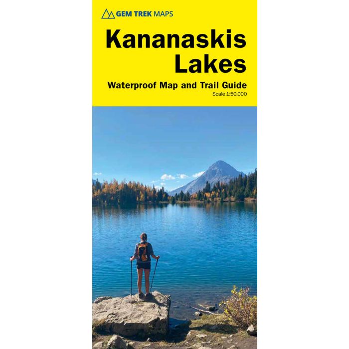
Kananaskis Lakes waterproof trail map and guide 1:50,000
includes Peter Lougheed Provincial Park
£14.95
In Stock
Usually dispatched within 24 hrs. Free delivery to UK for orders £25 and over
| Cordee Code: | CMA632 |
|---|---|
| Page Size: | 270 x 390 mm |
| Publisher: | Summerthought Publishing |
| ISBN13: | 9781990161131 |
| Published Date: | April 2024 |
| Edition: | April 2024 |
| Binding: | Map And Guide |
| Weight: | 100g |
| Product Type: | Map and Guide |
| Countries: | Canada |
Gem Trek's Kananaskis Lakes Map is designed for hikers and outdoor enthusiasts looking to explore the south-central portion of Kananaskis Country immediately south of the Gem Trek Canmore and Kananaskis Village Map. Whether you are touring along the roads or heading into the backcountry, you'll find the waterproof and tear-resistant Kananaskis Lakes Map to be an invaluable tool. This map features detailed cartography, accurate hiking trails with distances, and details such as logging roads, campgrounds, equestrian routes, picnic areas, and fire lookouts. On the back are descriptions of the most popular hiking trails, as well details of services such as campgrounds and visitor centres.
The Kananaskis Lakes Map covers Peter Lougheed Provincial Park, off Highway 40 south of the Kananaskis Valley. The northern extent of the map is Opal Day Use area on Highway 40 and Mount Engadine Lodge on the Smith-Dorrien/Spray Trail. The southern portion of the map covers Elk Lakes Provincial Park, in British Columbia. Popular hiking trails on the Kananaskis Lakes Map include Elbow Lake, Chester Lake, Burstall Pass, Headwall Lakes, Kananaskis Lookout, Upper Kananaskis Lake Circuit, Rawson Lake, Elk Lakes, and Ptarmigan Cirque. For adventurous hikers, the remote southern reaches of Banff National Park near Leman Lake are included.
A 1:25,000-scale inset map on the back highlights the Kananaskis Lakes area, including extra detail of hiking trails and campgrounds.