We use cookies to make your experience better. To comply with the new e-Privacy directive, we need to ask for your consent to set the cookies. Read our privacy and security policy

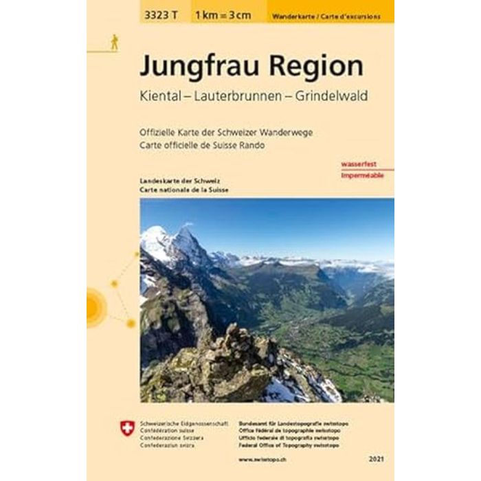
Jungfrau Region 3323 T
1:33,000
£10.95
In Stock
Usually dispatched within 24 hrs. Free delivery to UK for orders £25 and over
Jungfrau Region: Grindelwald - Wengen - Murren - Kandersteg area of the Bernese Oberland at 1:33,333 on light, waterproof and tear-resistant map No. 3323T published by Swisstopo in cooperation with the Swiss Hiking Federation.
| Cordee Code: | CMZ247 |
|---|---|
| Publisher: | Swisstopo |
| ISBN13: | 9783302333236 |
| Scale: | 1:33,000 |
| Published Date: | July 2015 |
| Edition: | 2015 |
| Binding: | Sheet Map (folded) |
| Weight: | 35g |
| Product Type: | Map |
| Countries: | Switzerland |
Jungfrau Region: Grindelwald - Wengen - Murren - Kandersteg area of the Bernese Oberland at 1:33,333 on light, waterproof and tear-resistant map No. 3323T published by Swisstopo in cooperation with the Swiss Hiking Federation.
Cartography is the same as in Swisstopo's 50K hiking maps, simply enlarged to 1:33,333 for extra clarity but without additional information. Coverage includes Lauterbrunnen, Kiental, Griesalp, the peaks of Eiger, Monch, Jungfrau, the Jungfraujoch railway line from Kleine Scheidegg, etc.
Cartography is the same as in Swisstopo's 50K hiking maps, simply enlarged to 1:33,333 for extra clarity but without additional information. Coverage includes Lauterbrunnen, Kiental, Griesalp, the peaks of Eiger, Monch, Jungfrau, the Jungfraujoch railway line from Kleine Scheidegg, etc.