We use cookies to make your experience better. To comply with the new e-Privacy directive, we need to ask for your consent to set the cookies. Learn more
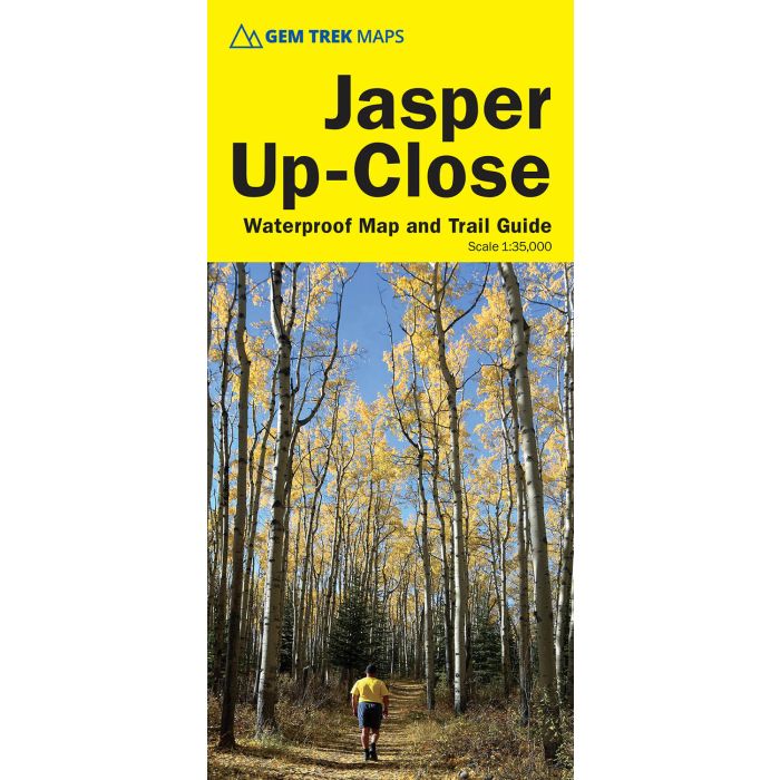
Jasper UpClose Map
Waterproof trail map and guide in one
£9.95
In Stock
Usually dispatched within 24 hrs. Free delivery to UK for orders £25 and over
| Cordee Code: | CMA634 |
|---|---|
| Page Size: | 101 x 228 mm |
| Publisher: | Summerthought Publishing |
| ISBN13: | 9781990161155 |
| Scale: | 1:35 000 |
| Published Date: | May 2025 |
| Edition: | 6th: May 2025 |
| Binding: | Sheet Map (folded) |
| Weight: | 50g |
| Product Type: | Map |
| Countries: | Canada |
Designed for both locals and visitors, Gem Trek's 1:35,000 Banff Up-Close Map is a detailed relief-shaded topographic map of the Jasper area. On the back of the Jasper Up-Close Map are descriptions of recommended sights, museums and scenic drives to make it easier to plan your day. We've also included a hand-picked list of the best six easy walks and day hikes in the area, noting the highlights of each trail, as well as distance, elevation gain and directions to the trailhead. Colour photos and three inset maps, including a town map of Jasper, accompany the descriptions of sights and hikes on the back of the map.
The Jasper Up-Close Map focuses on the town of Jasper in Jasper National Park. The map boundary extends from Saturday Night Lake in the west to Maligne Canyon in the east and from Maligne Canyon in the north to the Valley of the Five Lakes in the south.
Jasper is blessed with a network of trails that can be accessed from the town. This map covers them all, including to Marjorie and Hibernia Lakes, Cabin Lake, Mina and Riley Lakes, Patricia Lake, and in the vicinity of Pyramid Lake. Further afield, coverage includes trails along Maligne Canyon, to the summit of the Whistlers, to Old Fort Point, and through the Valley of the Five Lakes. For coverage of a larger area of Jasper National Park, including Maligne Lake, see Gem Trek's Jasper and Maligne Lake Map.