We use cookies to make your experience better. To comply with the new e-Privacy directive, we need to ask for your consent to set the cookies. Read our privacy and security policy

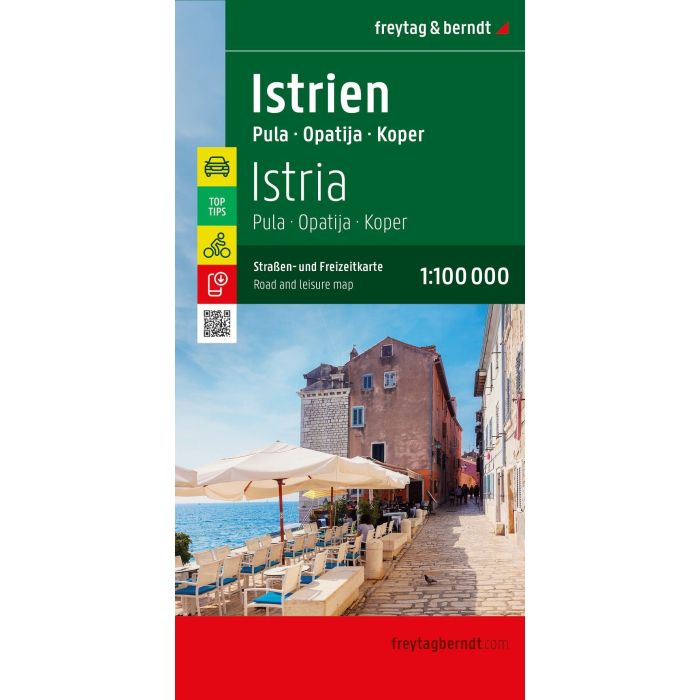
Istria Road and Leisure Map
Pula - Opatija - Koper
£12.90
In Stock
Usually dispatched within 24 hrs. Free delivery to UK for orders £25 and over
| Cordee Code: | FB1799 |
|---|---|
| Page Size: | 130 x 255 mm |
| No of Pages: | 2 |
| Publisher: | Freytag & Berndt |
| ISBN13: | 9783991546757 |
| Scale: | 1:100 000 |
| Published Date: | November 2026 |
| Edition: | 2026 |
| Binding: | Sheet Map (folded) |
| Weight: | 135g |
| Product Type: | Map |
| Countries: | Croatia |
The Istria road map at a scale of 1:100,000 contains all the essential information for tourists planning a trip to Istria. The comprehensive road network is precisely depicted, scenic routes are highlighted in color, and numerous tourist attractions are marked on the map.
Drivers and motorcyclists particularly appreciate freytag & berndt's precise cartography for route planning and on-site navigation.
Cyclists can easily find their way around thanks to the detailed scale. And of course, camping enthusiasts will find all campsites included on the map.
Information on the Istria road map
Scale 1:100,000
Info guide with top tips
campsites
Tourist routes
Local directory with postal codes
City center plans: Umag, Pore?, Rovinj, Pula, Opatija
Double-sided
approx. 67.5 x 98 cm
Information guide with top tips:
The enclosed information guide briefly describes the 10 most important sights in Istria in German, English, Croatian, Italian, and French. These include the Brijuni Islands off the west coast of Istria, the truffle town of Buzet, the medieval town of Hum, and the old town of Pazin.
The ideal road map for Istria:
Drivers, motorcyclists, and camping enthusiasts will find not only remote and lesser-known places on this map, but also scenic routes, which are specially highlighted. Campsites are, of course, also included.
Drivers and motorcyclists particularly appreciate freytag & berndt's precise cartography for route planning and on-site navigation.
Cyclists can easily find their way around thanks to the detailed scale. And of course, camping enthusiasts will find all campsites included on the map.
Information on the Istria road map
Scale 1:100,000
Info guide with top tips
campsites
Tourist routes
Local directory with postal codes
City center plans: Umag, Pore?, Rovinj, Pula, Opatija
Double-sided
approx. 67.5 x 98 cm
Information guide with top tips:
The enclosed information guide briefly describes the 10 most important sights in Istria in German, English, Croatian, Italian, and French. These include the Brijuni Islands off the west coast of Istria, the truffle town of Buzet, the medieval town of Hum, and the old town of Pazin.
The ideal road map for Istria:
Drivers, motorcyclists, and camping enthusiasts will find not only remote and lesser-known places on this map, but also scenic routes, which are specially highlighted. Campsites are, of course, also included.