We use cookies to make your experience better. To comply with the new e-Privacy directive, we need to ask for your consent to set the cookies. Learn more

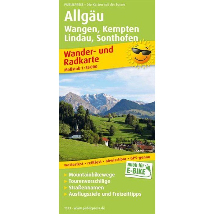
Title Not Available
£12.90
In Stock
Usually dispatched within 24 hrs. Free delivery to UK for orders £25 and over
| Cordee Code: | FB1446 |
|---|---|
| Page Size: | 90 x 200 mm |
| Publisher: | Freytag & Berndt |
| ISBN13: | 9783961325344 |
| Binding: | Sheet Map (folded) |
| Weight: | 60g |
| Product Type: | Map |
| Countries: | Germany |
The Upper Bavarian Isarwinkel stretches along the Isar between Gei?ach, Wackersberg and Bad T?lz to the border with Austria at Wallgau. In the middle of the region are the Kochelsee and Walchensee as well as the Sylvensteinstausee nestled idyllically in mountain ranges up to 1,800 m above sea level. sea ??level height. The uniquely beautiful region is a popular hiking area with wonderful mountain tours in untouched nature. The adjoining T?lzer Land around the eponymous spa town is also characterized by a true picture book landscape: the rivers Isar and Loisach flow through it, high peaks and gentle hills invite outdoor fans to go on hikes and bike tours, blue mountain lakes to refreshing baths and babbling brooks, fragrant mountain meadows as well as shady forests for active leisure time enjoyment.