We use cookies to make your experience better. To comply with the new e-Privacy directive, we need to ask for your consent to set the cookies. Learn more

Title Not Available
£14.90
In Stock
Usually dispatched within 24 hrs. Free delivery to UK for orders £25 and over
| Cordee Code: | FB0967 |
|---|---|
| Page Size: | 90 x 200 mm |
| Publisher: | Freytag & Berndt |
| ISBN13: | 9783899204094 |
| Published Date: | June 2016 |
| Binding: | Sheet Map (folded) |
| Weight: | 70g |
| Product Type: | Map |
| Countries: | Germany |
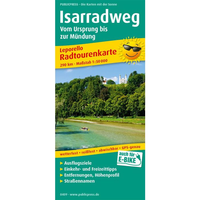
Designed in leporello style, the cycling tour map presents the Isar Cycle Path, which leads from Scharnitz on the Austrian border to where the Isar flows into the Danube near Deggendorf. The cycle route usually runs close to the river and is therefore generally considered family-friendly. It should be noted, however, that the Isar Cycle Path crosses hilly foothills of the Alps to Munich. Stopovers are available in places like Mittenwald, Bad T?lz or Wolfratshausen, as well as at Walchensee or Sylvensteinsee. Munich with the Frauenkirche, Deutsches Museum, Hofbr?uhaus and Viktualienmarkt is always worth a visit before you come through alluvial forests and meadows via Freising, Landshut and Dingolfing to the Danube. Divided into twenty-seven sections, the Isar Cycle Path cycling map allows easy entry at any point on the route.