We use cookies to make your experience better. To comply with the new e-Privacy directive, we need to ask for your consent to set the cookies. Learn more
Ireland Touring Map
£10.99
In Stock
Usually dispatched within 24 hrs. Free delivery to UK for orders £25 and over
| Cordee Code: | CME201 |
|---|---|
| Page Size: | 115 x 25 mm |
| Publisher: | Os (ireland Maps) |
| ISBN13: | 9781908852892 |
| Scale: | 1:450 000 |
| Language: | English |
| Published Date: | March 2009 |
| Edition: | 6th, 2014 |
| Binding: | Sheet Map (folded) |
| Weight: | 100g |
| Product Type: | Map |
| Countries: | Ireland |
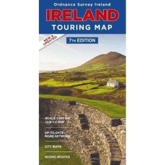
1:450,000 Touring Map of Northern and Southern Ireland, produced by Ordnance Survey Ireland.
Featuring: Detailed road network, holiday information, scenic routes and city maps. Includes index to cities, towns & villages.
Featuring: Detailed road network, holiday information, scenic routes and city maps. Includes index to cities, towns & villages.