We use cookies to make your experience better. To comply with the new e-Privacy directive, we need to ask for your consent to set the cookies. Learn more
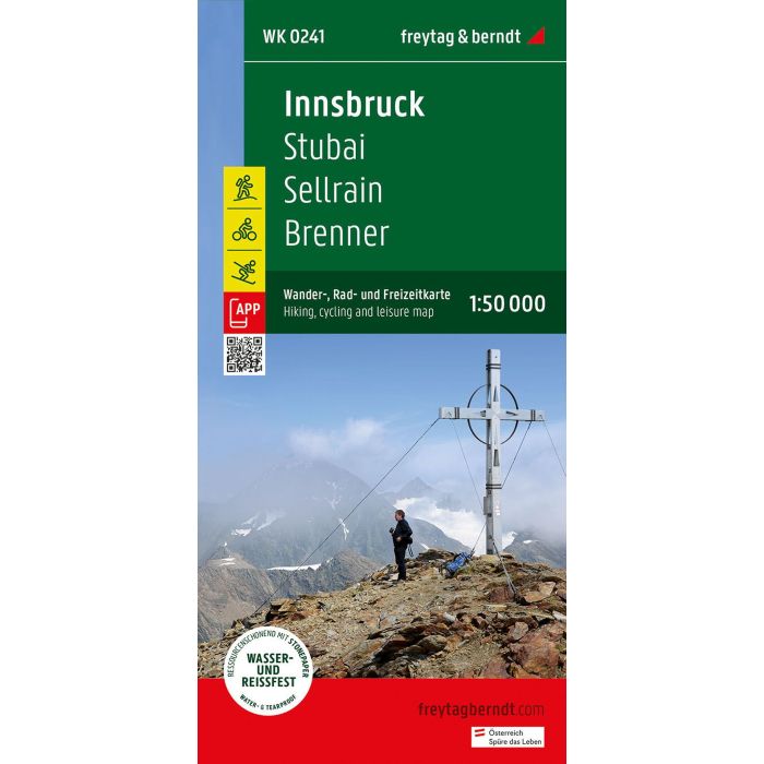
Innsbruck Stubai, Sellrain, Brenner
Hiking, Cycling and Leisure Map
£12.90
In Stock
Usually dispatched within 24 hrs. Free delivery to UK for orders £25 and over
Thanks to the detailed digital cartography and precise scales, freytag & berndt hiking maps are ideal companions for hiking, mountaineering and ski tours.
| Cordee Code: | CMA565 |
|---|---|
| Page Size: | 100 x 205 mm |
| No of Pages: | 1 |
| Publisher: | Freytag & Berndt |
| ISBN13: | 9783707920529 |
| Scale: | 1:50,000 |
| Author: | Freytag & Berndt |
| Published Date: | October 2023 |
| Edition: | October 2023 |
| Binding: | Sheet Map (folded) |
| Illustrations: | Colour mapping |
| Weight: | 50g |
| Product Type: | Map |
| Countries: | Austria |
Thanks to the detailed digital cartography and precise scales, freytag & berndt hiking maps are ideal companions for hiking, mountaineering and ski tours.
The hiking map "Innsbruck - Stubai - Sellrain - Brenner 1:50,000" is regularly revised and contains updated information on hiking trails, cycling and mountain bike routes, huts, natural monuments, cultural sights and leisure facilities.
The enclosed information booklet contains a selection of the best hiking trails, cycle paths and mountain bike routes as well as a brief description of the individual communities and their leisure activities.