We use cookies to make your experience better. To comply with the new e-Privacy directive, we need to ask for your consent to set the cookies. Learn more
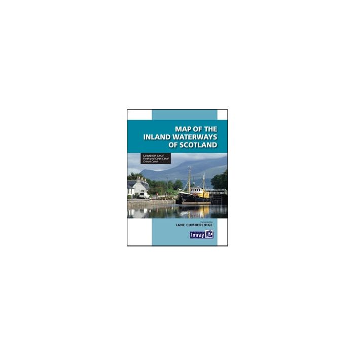
Inland Waterways of Scotland Map
£8.95
Temp Out Of Stock
| Cordee Code: | IYI025 |
|---|---|
| Page Size: | 148 x 210 mm |
| No of Pages: | 1 |
| Publisher: | Imray Laurie Norie &wilson Ltd |
| ISBN13: | 9781846235221 |
| Language: | English |
| Published Date: | July 2005 |
| Edition: | 2013 |
| Binding: | Sheet Map (folded) |
| Weight: | 150g |
| Product Type: | Guide Books |
The Ma of the Inland Waterways of Scotland provides medium scale coverage of the Caledonian Canal, Forth & Clyde Canal and Crinan Canal. It also includes a an overview map which shows the geographical realtionship of the Scottish canals and disused waterways.
The detailed mapping is supported by useful notes on dimensions, navigation, contacts and facilities. Jane Cumberlidge has also written a more general narrative on the three main waterways. This provides background information and is a guide to paces to visit and see along each canal.
The detailed mapping is supported by useful notes on dimensions, navigation, contacts and facilities. Jane Cumberlidge has also written a more general narrative on the three main waterways. This provides background information and is a guide to paces to visit and see along each canal.

