We use cookies to make your experience better. To comply with the new e-Privacy directive, we need to ask for your consent to set the cookies. Read our privacy and security policy

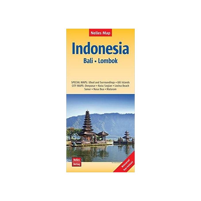
Indonesia Map Bali and Lombok
Waterprrof 1:180,000 scale
£9.99
In Stock
Usually dispatched within 24 hrs. Free delivery to UK for orders £25 and over
| Cordee Code: | CMW849 |
|---|---|
| Page Size: | 115 x 245 mm |
| No of Pages: | 2 |
| Publisher: | Nelles Verlag Gmbh |
| ISBN13: | 9783865745095 |
| Published Date: | July 2018 |
| Edition: | 2018 |
| Binding: | Sheet Map (folded) |
| Weight: | 50g |
| Product Type: | Map |
| Countries: | Indonesia |
Bali and Lombok at 1:180,000 on a waterproof and tear-resistant, double-sided map from Nelles, with each island presented with street plans and/or enlargements for its most visited locations. Bali, shown on one side with the Penida Island, is accompanied by street plans of Denpasar, Kuta - Legian, Lovina Beach, Sanur, Nusa Dua, plus Ubud and its vicinity. On the reverse of the map Lombok has a street plan of Mataram, plus an enlargement of the Gili Islands (Gili Trawangan, Gili Meno and Gili Air).