We use cookies to make your experience better. To comply with the new e-Privacy directive, we need to ask for your consent to set the cookies. Learn more
Inca Trail Topograhical Map
£16.99
In Stock
Usually dispatched within 24 hrs. Free delivery to UK for orders £25 and over
This fact-filled map features a road map (1:300,000) on one side and topographical details of the Inca Trail (1:50,000) on the other.
| Cordee Code: | CMW833 |
|---|---|
| Page Size: | 100 x 210 mm |
| No of Pages: | 1 |
| Publisher: | Editorial Lima 2000 S.a. |
| ISBN13: | 9789972654619 |
| Scale: | 1:50,000 |
| Author: | Lima 2000 |
| Published Date: | March 2024 |
| Edition: | 4th Ed, Mar 2024 |
| Binding: | Sheet Map (folded) |
| Weight: | 40g |
| Product Type: | Map |
| Countries: | Peru |
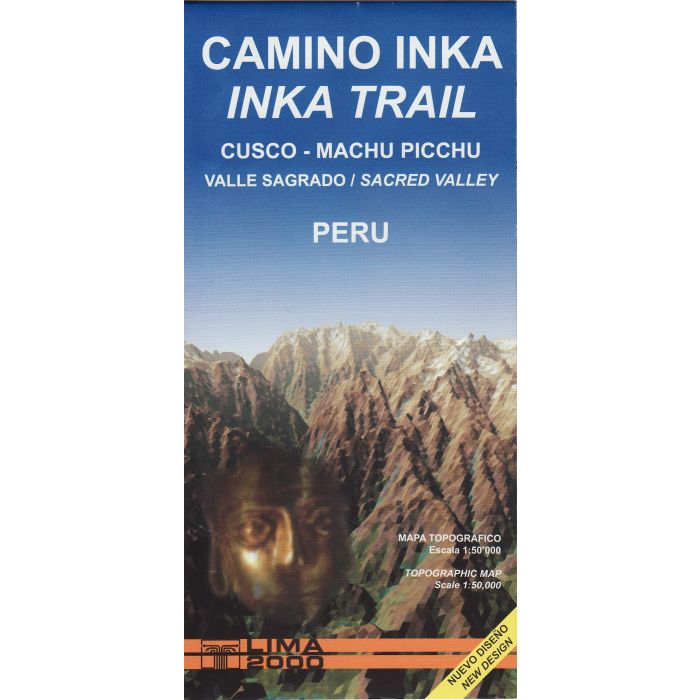
Todays Inca Trail is a section of the ancient road from Cusco to Machu Picchu, which was forming part of the Tawantinsuyo's extensive network of roads. From Qoriwayrachina, where the valley narrows, the trail takes a parallel course that crosses the highlands, reaching 4200m above sea level. On the way, the hiker finds various well preserved archaeological sites ad enjoys psectacular sceneries, until finally arriving at the mysterious citadel of Machu Picchu.