We use cookies to make your experience better. To comply with the new e-Privacy directive, we need to ask for your consent to set the cookies. Read our privacy and security policy

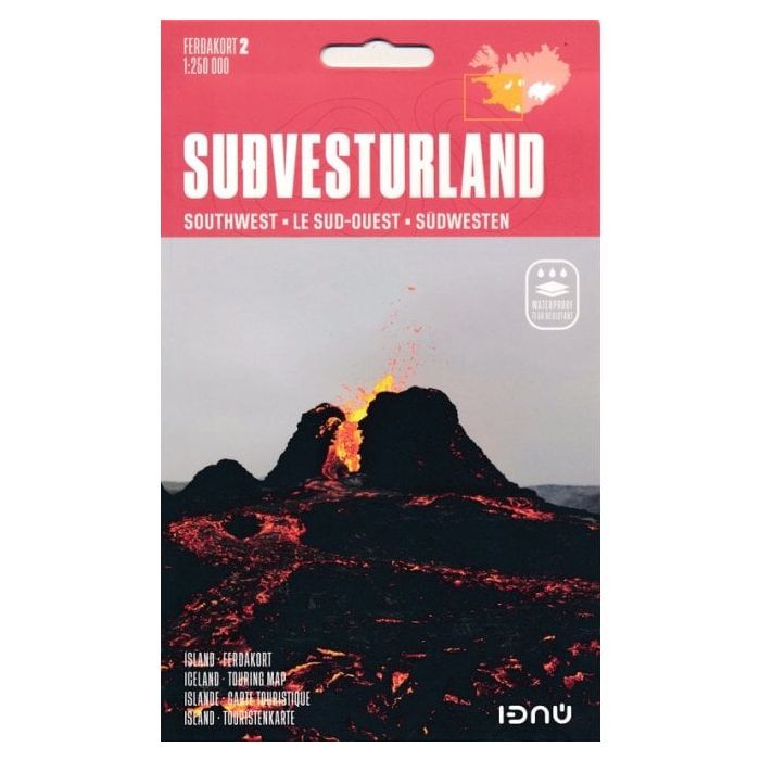
Iceland South West 2 Travel Map 1:250,000
£20.99
In Stock
Usually dispatched within 24 hrs. Free delivery to UK for orders £25 and over
| Cordee Code: | CMV626 |
|---|---|
| Page Size: | 130 x 210 mm |
| No of Pages: | 2 |
| Publisher: | Idnu Publishing |
| ISBN13: | 9789979675488 |
| Published Date: | July 2025 |
| Edition: | 2025 |
| Binding: | Sheet Map (folded) |
| Weight: | 60g |
| Product Type: | Map |
| Countries: | Iceland |
South-West Iceland in a series of detailed, contoured road maps of Iceland with cartography based on the country?s topographic survey, supplemented by additional tourist information.
Contours are at 50m intervals, enhanced by relief shading with additional graphics and colouring showing different types of terrain and vegetation: glaciers, lava fields, sand, forest and shrubbery, cultivated land, etc. Boundaries of the national park and other protected areas are marked. Road detail includes gravel/earth roads, fords over rivers, petrol stations, and intermediate driving distances.
A wide range of symbols highlight various types of accommodation including tourist huts and campsites, sport and leisure facilities, places of interest, etc. Latitude and longitude lines are drawn at 15'' and 20'' intervals respectively. The maps have no index. Map legend includes English. To see the other titles in this series please click on the series link.
Contours are at 50m intervals, enhanced by relief shading with additional graphics and colouring showing different types of terrain and vegetation: glaciers, lava fields, sand, forest and shrubbery, cultivated land, etc. Boundaries of the national park and other protected areas are marked. Road detail includes gravel/earth roads, fords over rivers, petrol stations, and intermediate driving distances.
A wide range of symbols highlight various types of accommodation including tourist huts and campsites, sport and leisure facilities, places of interest, etc. Latitude and longitude lines are drawn at 15'' and 20'' intervals respectively. The maps have no index. Map legend includes English. To see the other titles in this series please click on the series link.