We use cookies to make your experience better. To comply with the new e-Privacy directive, we need to ask for your consent to set the cookies. Read our privacy and security policy

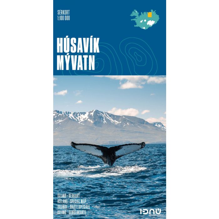
Husavik Lake Myvatn Map 1:100 000
£18.99
In Stock
Usually dispatched within 24 hrs. Free delivery to UK for orders £25 and over
| Cordee Code: | CMV637 |
|---|---|
| Page Size: | 115 x 220 mm |
| No of Pages: | 2 |
| Publisher: | Idnu Publishing |
| ISBN13: | 9789979675136 |
| Scale: | 1:100 000 |
| Published Date: | July 2016 |
| Edition: | 2016 |
| Binding: | Sheet Map (folded) |
| Weight: | 60g |
| Product Type: | Map |
| Countries: | Iceland |
Husavik - M?vatn at 1:100,000 in a series of special detailed hiking and touring maps, based on the Icelandic topographic survey, covering an area south of H?savik including Lake M?vatn and its surroundings.
Contours are at 20-metre intervals, with several types of terrain and vegetation indicated, e.g. different types of forest, sand, moraine, lava, etc. The map shows hiking trails and bridleways, as well as various types of accommodation including hotels, guesthouses, campsites, etc. Also shown are emergency shelters, petrol stations, car repair workshops, historical and archaeological sites, etc.
The map covers an area of approximately 58x73 km / 36x45 miles and has a grid with latitude and longitude in steps of 10'' and 30'' respectively. Map legend includes English. To see the list of titles in this series please click on the series link.
Contours are at 20-metre intervals, with several types of terrain and vegetation indicated, e.g. different types of forest, sand, moraine, lava, etc. The map shows hiking trails and bridleways, as well as various types of accommodation including hotels, guesthouses, campsites, etc. Also shown are emergency shelters, petrol stations, car repair workshops, historical and archaeological sites, etc.
The map covers an area of approximately 58x73 km / 36x45 miles and has a grid with latitude and longitude in steps of 10'' and 30'' respectively. Map legend includes English. To see the list of titles in this series please click on the series link.