We use cookies to make your experience better. To comply with the new e-Privacy directive, we need to ask for your consent to set the cookies. Learn more

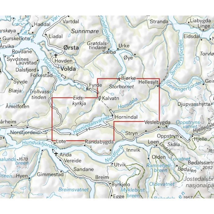
Hornindal 1:25K
Hoyfjellskart
£18.99
Refer To Cus Serv
Available by special order, contact [email protected] and we can advise expected delivery date.
| Cordee Code: | CMV551 |
|---|---|
| Page Size: | 130 x 210 mm |
| No of Pages: | 2 |
| Publisher: | Calazo Forlag Ab |
| ISBN13: | 9789189541214 |
| Binding: | Sheet Map (folded) |
| Product Type: | Others |
| Countries: | Norway |
This is a map with a lot of details that have never before been shown of the area around Hornindalsvatnet. The terrain information in the map is based on laser scanning from aircraft. Mountain slopes, streams, glaciers and other natural elements are shown in much more detail with this technique. A map on a scale of 1:25,000 is useful for those who are planning a summit trip to Hornindalsrokken (1526 masl), Kvitegga (1700 masl), Hogenibba (1191 masl) or Glitregga (1297 masl). The map can also be used by those who want to leave marked trails to explore their own routes in the high mountains. The map is made of the material Tyvek, which is water-resistant, tear-resistant and lightweight.