We use cookies to make your experience better. To comply with the new e-Privacy directive, we need to ask for your consent to set the cookies. Learn more

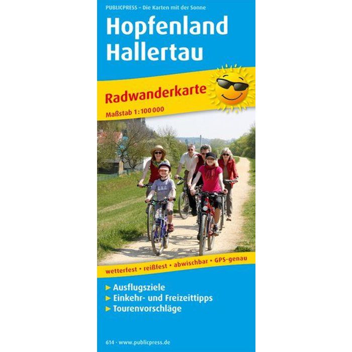
Hopfenland Hallertau
£8.90
In Stock
Usually dispatched within 24 hrs. Free delivery to UK for orders £25 and over
| Cordee Code: | FB1291 |
|---|---|
| Page Size: | 90 x 200 mm |
| Publisher: | Freytag & Berndt |
| ISBN13: | 9783899206142 |
| Published Date: | June 2016 |
| Binding: | Sheet Map (folded) |
| Weight: | 70g |
| Product Type: | Map |
| Countries: | Germany |
The Hopfenland Hallertau cycling tour map presents the scenic area between the Danube and Isar, Kehlheim and Landshut. Numerous long-distance and regional cycle paths are marked in the map section, some of which accompany the two rivers close to the banks, some of which lead to the largest contiguous hop-growing area in the world around Pfaffenhofen with significant inclines. Information on the individual themed routes, the Hallertau region and the Altm?hltal nature park can be found on the back of the map. There the cyclist can also find out more interesting facts about the places in the region and their sights. The Hopfenland Hallertau cycling tour map provides excellent information about an area that is not only worth a visit for beer lovers.