We use cookies to make your experience better. To comply with the new e-Privacy directive, we need to ask for your consent to set the cookies. Learn more
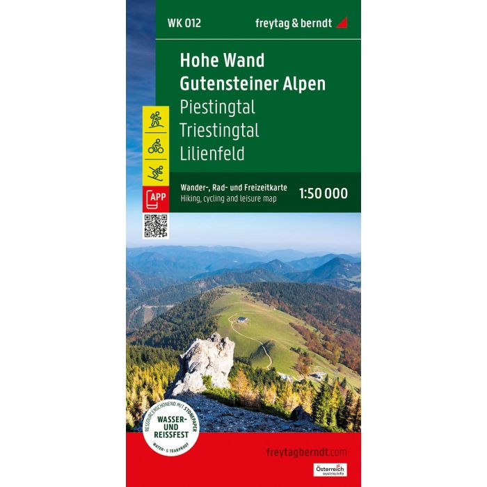
Hohe Wand Gutensteiner Alpen Hiking, Cycling and Leisure
WK 012 1:50,000 scale
£12.90
In Stock
Usually dispatched within 24 hrs. Free delivery to UK for orders £25 and over
| Cordee Code: | FB1667 |
|---|---|
| Page Size: | 100 x 205 mm |
| Publisher: | Freytag & Berndt |
| ISBN13: | 9783707922974 |
| Published Date: | December 2024 |
| Edition: | Dec 2024 |
| Binding: | Sheet Map (folded) |
| Weight: | 50g |
| Product Type: | Map |
| Countries: | Austria |
The WK 012 "Hohe Wand - Gutensteiner Alps, hiking map 1:50,000" is regularly revised and contains updated information on hiking trails, cycling and mountain bike routes, huts, natural monuments, cultural sights and leisure facilities. The enclosed information booklet contains a selection of the best hiking trails, cycling paths and mountain bike routes as well as a short description of the individual communities and their leisure activities. (Language: German) Details: Leisure information, hiking and long-distance hiking trails, mountain bike and cycle tours, local index with postcodes, GPS compatible, via ferrata, ski route, cross-country route, Nordic walking route, double-sided;