We use cookies to make your experience better. To comply with the new e-Privacy directive, we need to ask for your consent to set the cookies. Learn more
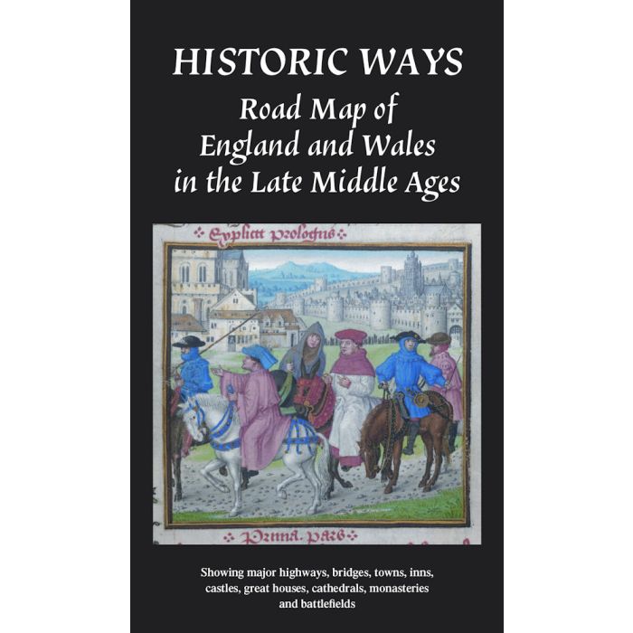
HISTORIC WAYS ROAD MAP OF ENG and WALES IN THE LATE MIDDLE AGE
Showing major ways, bridges, towns, inns, castles, ........
£14.99
In Stock
Usually dispatched within 24 hrs. Free delivery to UK for orders £25 and over
| Cordee Code: | CMO528 |
|---|---|
| Page Size: | 125 x 222 mm |
| No of Pages: | 2 |
| Publisher: | Historic Ways Publishing |
| ISBN13: | 9781036923792 |
| Scale: | 1:800 000 |
| Author: | David Harrison |
| Published Date: | July 2025 |
| Edition: | 1st, 2025 |
| Binding: | Sheet Map (folded) |
| Weight: | 100g |
| Product Type: | Map |
This publication combines an attractive map with a concise, illustrated account of travel in England and Wales in the late Middle Ages, c. 1450 - 1500.
Inspired by the medieval Gough Map, beautifully designed and adorned and with clear symbols, the map marks main routes, bridges, the major towns and cities, battle sites, inns, and important sacred and secular buildings at the time of the Wars of the Roses.
The map was developed through a lifetime's research, including on-the-ground exploration. It offers an ideal way to explore the Middle Ages at home and plan visits.
The reverse features scholarly text panels, with new research, covering the development of the roads, key sites and methods of travel, illustrated with contemporary photographs and old prints.
The map really does transform the way we see the period
Ideal for: historians, historical novelists requiring authentic detail, lovers of medieval history and old bridges,
anyone interested in travel, castles, and monasteries, tourists visiting historic sites, or pilgrims wanting to follow traditional routes. 890 x 750mm unfolded.
Dr David Harrison is the author of The Bridges of Medieval England: Transport and Society 400-1800 (OUP, 2004), as well as numerous articles on medieval roads, bridges, and travel. Formerly a Clerk in the House of Commons (including service as Clerk of the Transport Committee).