We use cookies to make your experience better. To comply with the new e-Privacy directive, we need to ask for your consent to set the cookies. Learn more
Hermannsweg, Rheine Leopoldstal
£15.90
In Stock
Usually dispatched within 24 hrs. Free delivery to UK for orders £25 and over
| Cordee Code: | FB1033 |
|---|---|
| Page Size: | 90 x 200 mm |
| Publisher: | Freytag & Berndt |
| ISBN13: | 9783899201918 |
| Binding: | Sheet Map (folded) |
| Weight: | 70g |
| Product Type: | Map |
| Countries: | Germany |
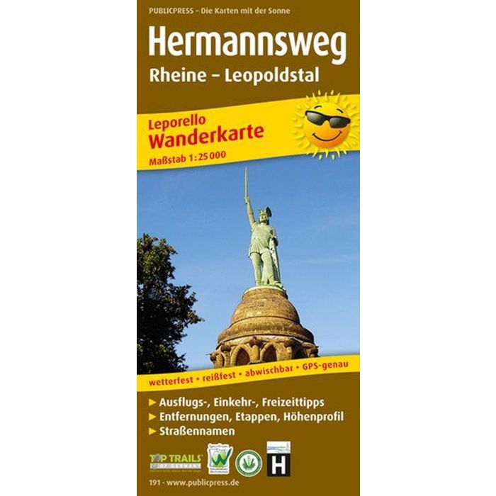
The Hermannsweg, which runs along the crest of the Teutoburg Forest, starts at the Emsauen near Rheine and ends at the Lippische Velmerstot (441 m above sea level) near Leopoldstal. The path owes its name to the Germanic leader Hermann the Cherusker, who in 9 AD. defeated the Romans in battle. For a long time it was assumed that the location of the battle was in the Teutoburg Forest. Numerous sights await hikers along the route: the D?renther cliffs near Ibbenb?ren, the castles of Tecklenburg and Ravensburg, and last but not least the Hermann Monument and the Externsteine ??near Detmold. Corresponding information is incorporated into the cartography of the Leporello hiking map Hermannsweg.