We use cookies to make your experience better. To comply with the new e-Privacy directive, we need to ask for your consent to set the cookies. Read our privacy and security policy

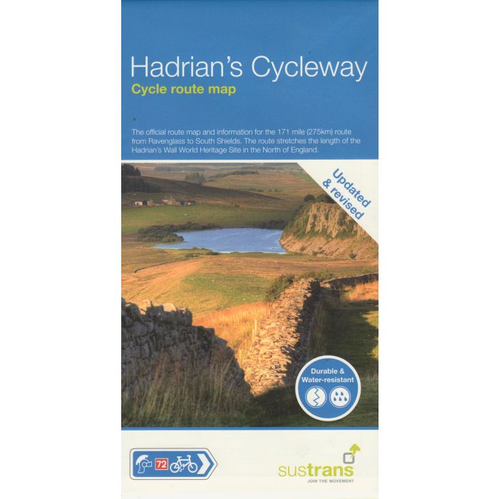
Hadrians Cycleway Cycle Route Map NN72
Ravenglass to South Shields
£10.99
In Stock
Usually dispatched within 24 hrs. Free delivery to UK for orders £25 and over
The official route map and information for the 174 mile (280 km) route from Ravensglass to South Shields - Sustrans' route NN72. The route stretches the length of the Hadrian's Wall World Heritage Site in the north of England.
| Cordee Code: | CCY492 |
|---|---|
| Page Size: | 125 x 235 mm |
| Publisher: | Walk Wheel Cycle Trust |
| ISBN13: | 9781914410628 |
| Scale: | 1:100,000 |
| Binding: | Waterproof Map (folded) |
| Weight: | 30g |
| Product Type: | Map |
The official route map and information for the 174 mile (280 km) route from Ravensglass to South Shields - route NN72. The route stretches the length of the Hadrian's Wall World Heritage Site in the north of England. In a 1:100,000 scale, the map shows gradient profiles and visitor information, with detailed routes through towns and cities.
The route offers a cycling adventure with magnificent coastal views through wonderful countryside, Roman forts and museums, inspiring modern attractions, quaint villages and attractive market towns - all enjoyed from cycle paths, country lanes and quieter roads. The route is waymarked with the familiar blue Sustrans' signs. Most people are able to complete the route in three days, but for those wanting to stop at the numerous attractions along the way it is likely to take 4-5 days.
The route offers a cycling adventure with magnificent coastal views through wonderful countryside, Roman forts and museums, inspiring modern attractions, quaint villages and attractive market towns - all enjoyed from cycle paths, country lanes and quieter roads. The route is waymarked with the familiar blue Sustrans' signs. Most people are able to complete the route in three days, but for those wanting to stop at the numerous attractions along the way it is likely to take 4-5 days.
