We use cookies to make your experience better. To comply with the new e-Privacy directive, we need to ask for your consent to set the cookies. Learn more
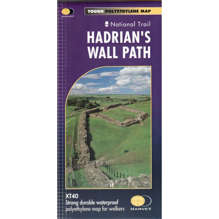
Hadrians Wall Path
National Trail 1:40 000 XT40
£15.95
In Stock
Usually dispatched within 24 hrs. Free delivery to UK for orders £25 and over
| Cordee Code: | CMH097 |
|---|---|
| Publisher: | Harvey Maps |
| ISBN13: | 9781851374380 |
| Author: | Harvey Maps |
| Language: | English |
| Published Date: | March 2006 |
| Binding: | Sheet Map (folded) |
| Weight: | 120g |
| Product Type: | Map |
| Countries: | United Kingdom |
Map for all of the Hadrians walk route on one map. 130km (81 miles) from the Solway Coast to Newcastle. Opportunity to visit a large number of historical sites along the way. Information on finding accommodation, camping, food. Directions to the start. Also Ranger Service contact numbers and enlargements of towns/villages showing facilities available and tips on weather and clothing. Detailed mapping, full legend. National Grid - can be used with GPS. 1:40,000 scale. Waterproof. Supplied in clear plastic pocket

