We use cookies to make your experience better. To comply with the new e-Privacy directive, we need to ask for your consent to set the cookies. Read our privacy and security policy

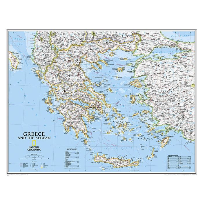
Greece Classic Map Laminated
Reference Maps
£29.95
Temp Out Of Stock
| Cordee Code: | NG0671 |
|---|---|
| Page Size: | 760 x 590 mm |
| No of Pages: | 1 |
| Publisher: | National Geographic Wall Maps |
| ISBN13: | 9780792236092 |
| Weight: | 700g |
| Product Type: | Others |
Dimensions: H60cm x W77cm
National Geographic's wall map of Greece and the Aegean is one of the largest and most detailed maps of the area. The signature Classic style design uses a bright, easy-to-read color palette and stunning shaded relief. Coverage includes mainland Greece along with areas of bordering Albania, North Macedonia, Bulgaria and Turkey. Surrounding waterways, like the Aegean and Ionian Seas are shown with depth curves and soundings along with hundreds of islands, including Crete, Rhodes and Euboea. Also shown are thousands of place names, accurate boundaries, national parks, ruins and major infrastructure networks such as roads, highways, airports, railroads, canals and ferry routes.
The map is encapsulated in heavy-duty 1.6 mil laminate which makes the paper much more durable and resistant to the swelling and shrinking caused by changes in humidity. Laminated maps can be framed without the need for glass, so the frames can be much lighter and less expensive.
National Geographic's wall map of Greece and the Aegean is one of the largest and most detailed maps of the area. The signature Classic style design uses a bright, easy-to-read color palette and stunning shaded relief. Coverage includes mainland Greece along with areas of bordering Albania, North Macedonia, Bulgaria and Turkey. Surrounding waterways, like the Aegean and Ionian Seas are shown with depth curves and soundings along with hundreds of islands, including Crete, Rhodes and Euboea. Also shown are thousands of place names, accurate boundaries, national parks, ruins and major infrastructure networks such as roads, highways, airports, railroads, canals and ferry routes.
The map is encapsulated in heavy-duty 1.6 mil laminate which makes the paper much more durable and resistant to the swelling and shrinking caused by changes in humidity. Laminated maps can be framed without the need for glass, so the frames can be much lighter and less expensive.