We use cookies to make your experience better. To comply with the new e-Privacy directive, we need to ask for your consent to set the cookies. Learn more

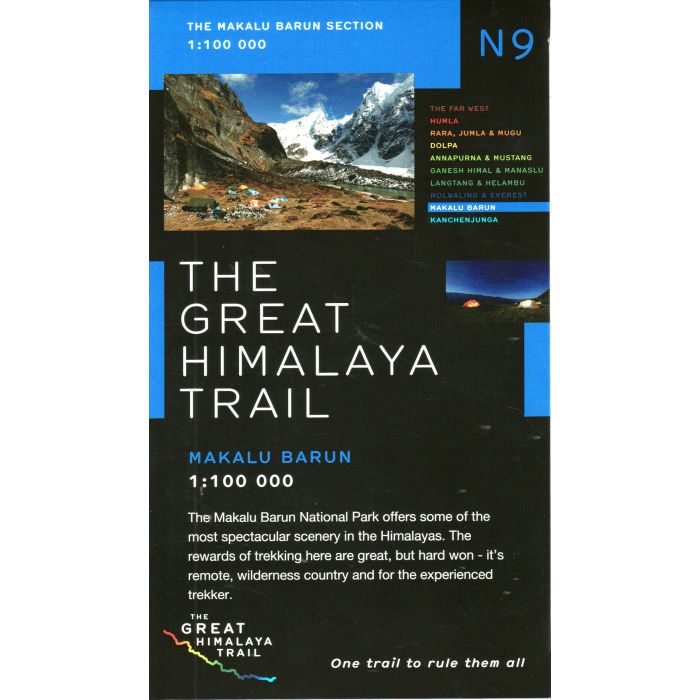
Great Himalayan Trail N9: Makalu Barun
£18.95
Temp Out Of Stock
Makalu Barun region in the Newgrove Consultants series covering the course of Great Himalaya Trail High Route at 1:100,000 on nine maps printed on light, waterproof and tear-resistant plastic paper. The map is single-sided and covers the High Route across the Makalu Barun National Park between the easternmost part of the Sagarmatha National Park with the Pheriche Pass and Island Peak and the western edge of the Kanchenjunga Conservation Area.
| Cordee Code: | CMW685 |
|---|---|
| Page Size: | 130 x 225 mm |
| Publisher: | Newgrove Consultants |
| ISBN13: | 9780956981783 |
| Scale: | 1:100,000 |
| Published Date: | August 2011 |
| Binding: | Sheet Map (folded) |
| Weight: | 70g |
| Product Type: | Map |
| Countries: | Nepal |
This is one of a series of 10 maps covering the Great Himalayan Trail.
Makalu Barun region in the Newgrove Consultants series covering the course of Great Himalaya Trail High Route at 1:100,000 on nine maps printed on light, waterproof and tear-resistant plastic paper. The map is single-sided and covers the High Route across the Makalu Barun National Park between the easternmost part of the Sagarmatha National Park with the Pheriche Pass and Island Peak and the western edge of the Kanchenjunga Conservation Area.
The base map, derived from satellite imagery, has contours at 200m intervals enhanced by relief shading and colouring to show glaciers, the snow line at 6000m, barren land, forests, etc. Numerous spot heights are marked in the high-laying areas, but not very many and in places none on the south side of the trail. Important peaks and mountain passes are prominently marked. Boundaries of national parks and other protected areas are also shown.
Makalu Barun region in the Newgrove Consultants series covering the course of Great Himalaya Trail High Route at 1:100,000 on nine maps printed on light, waterproof and tear-resistant plastic paper. The map is single-sided and covers the High Route across the Makalu Barun National Park between the easternmost part of the Sagarmatha National Park with the Pheriche Pass and Island Peak and the western edge of the Kanchenjunga Conservation Area.
The base map, derived from satellite imagery, has contours at 200m intervals enhanced by relief shading and colouring to show glaciers, the snow line at 6000m, barren land, forests, etc. Numerous spot heights are marked in the high-laying areas, but not very many and in places none on the south side of the trail. Important peaks and mountain passes are prominently marked. Boundaries of national parks and other protected areas are also shown.