We use cookies to make your experience better. To comply with the new e-Privacy directive, we need to ask for your consent to set the cookies. Learn more
Graz and the surrounding area WK0133
Hiking Cycling and Leisure Map 1:50 000
£12.90
In Stock
Usually dispatched within 24 hrs. Free delivery to UK for orders £25 and over
| Cordee Code: | FB0808 |
|---|---|
| Page Size: | 100 x 205 mm |
| Publisher: | Freytag & Berndt |
| ISBN13: | 9783707919752 |
| Scale: | 1:50 000 |
| Published Date: | May 2022 |
| Binding: | Sheet Map (folded) |
| Weight: | 50g |
| Product Type: | Map |
| Countries: | Austria |
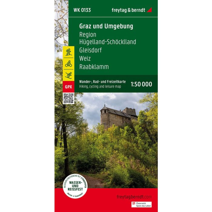
The hiking map "Graz and surroundings, hiking, cycling and leisure map 1:50,000, freytag & berndt, WK 0133" is revised regularly and contains updated information on hiking trails, cycling and mountain bike routes, huts, natural monuments, cultural sights and leisure facilities. The enclosed information booklet contains a selection of the best hiking trails, cycle paths and mountain bike routes as well as a brief description of the individual communities and their leisure activities. (Language: German) Leisure information, hiking and long-distance hiking trails, mountain bike and cycling tours, register of places with postcodes, GPS-compatible, via ferrata, bridle path, ski route, Nordic walking route; Region: Graz, Graz surroundings, Styria. Special themed hiking trails: Mariazellerweg, Jakobsweg, Via Slavorum, Pilgerweg, Grabenland Trail, Vulkanland hiking trail, Grazer-Umland-Weg, GU-Sud circular hiking trail, Wechselbergland Hohenweg. Special cycle and mountain bike tours: Mur Cycle Path, Erzherzog-Johann Cycle Path, Ilztal Cycle Path, Raabtal Cycle Path, Mostwarts Cycle Path, Stiefingtal Cycle Path, Panoramaweg GU3, Graz circumnavigation.