We use cookies to make your experience better. To comply with the new e-Privacy directive, we need to ask for your consent to set the cookies. Learn more
Grand St Bernard 1365
1:25 000
£12.99
Temp Out Of Stock
Map No. 1365, Grand St-Bernard, in the topographic survey of Switzerland at 1:25,000 from Swisstopo.
| Cordee Code: | CMZ109 |
|---|---|
| Page Size: | 130 x 190 mm |
| Publisher: | Swisstopo |
| ISBN13: | 9783302013657 |
| Language: | English |
| Published Date: | August 2005 |
| Binding: | Sheet Map (folded) |
| Weight: | 50g |
| Product Type: | Map |
| Countries: | Switzerland |
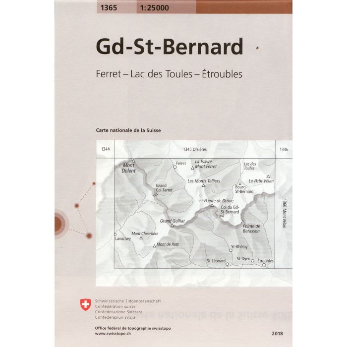
Map No. 1365, Grand St-Bernard, in the topographic survey of Switzerland at 1:25,000 from Swisstopo. Coverage extends from Mont Dolent in the west to the peak of Petit V?lan in the east and includes on the Swiss side the upper part of Val Ferret; the map includes road approaches to the Grand St-Bernard tunnel on both sides of the border, extending on the Italian side to Etroubles.
Swiss topographic survey at 1:25,000 covers the whole country on 247 small format sheets, with special larger maps published for popular regions including some titles now available in hiking versions. Highly regarded for their superb use of graphic relief and hill shading, the maps give an almost 3-D picture of Switzerland's mountainous terrain. Contours are at 10 m intervals, with 20m intervals in the mountainous areas. All the maps have a 1-km grid for Swiss national coordinates (datum CH 1903).
Swiss topographic survey at 1:25,000 covers the whole country on 247 small format sheets, with special larger maps published for popular regions including some titles now available in hiking versions. Highly regarded for their superb use of graphic relief and hill shading, the maps give an almost 3-D picture of Switzerland's mountainous terrain. Contours are at 10 m intervals, with 20m intervals in the mountainous areas. All the maps have a 1-km grid for Swiss national coordinates (datum CH 1903).