We use cookies to make your experience better. To comply with the new e-Privacy directive, we need to ask for your consent to set the cookies. Learn more
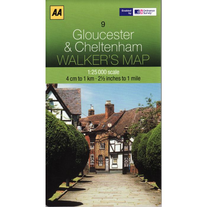
Gloucester and Cheltenham AA Map 09
AA Walker's Map 1:25,000
£7.99
Temp Out Of Stock
Aimed at outdoor enthusiasts in particular, the AA Gloucester & Cheltenham Walker's Map is ideal for use when planning walks, hikes and excursions in the area. Utilising 1:25,000 data supplied by the Ordnance Survey, this sheet map provides optimised coverage for Gloucester and Cheltenham for accuracy when planning outdoor leisure pursuits.
| Cordee Code: | AAW009 |
|---|---|
| Page Size: | 133 x 240 mm |
| Publisher: | Aa Maps |
| ISBN13: | 9780749573201 |
| Scale: | 1:25,000 |
| Published Date: | April 2012 |
| Edition: | 1st (April 2012 ) |
| Binding: | Sheet Map (folded) |
| Weight: | 120g |
| Product Type: | Map |
Aimed at outdoor enthusiasts in particular, the AA Gloucester & Cheltenham Walker's Map is ideal for use when planning walks, hikes and excursions in the area. Utilising 1:25,000 data supplied by the Ordnance Survey, this sheet map provides optimised coverage for Gloucester and Cheltenham for accuracy when planning outdoor leisure pursuits.
Trusted and reliable Ordnance Survey data with a familiar look and style
1:25,000 scale of 2.5 inches to 1 mile
Land and water features clearly identified
Contours at 5 and 10 metre intervals shown
Tourist and leisure information marked
Public rights of way
Trusted and reliable Ordnance Survey data with a familiar look and style
1:25,000 scale of 2.5 inches to 1 mile
Land and water features clearly identified
Contours at 5 and 10 metre intervals shown
Tourist and leisure information marked
Public rights of way

