We use cookies to make your experience better. To comply with the new e-Privacy directive, we need to ask for your consent to set the cookies. Learn more
Gesause, Walking, Bike and Leisure map
£12.90
In Stock
Usually dispatched within 24 hrs. Free delivery to UK for orders £25 and over
| Cordee Code: | FB0795 |
|---|---|
| Page Size: | 100 x 205 mm |
| No of Pages: | 1 |
| Publisher: | Freytag & Berndt |
| ISBN13: | 9783707919776 |
| Scale: | 1:50 000 |
| Published Date: | March 2022 |
| Binding: | Sheet Map (folded) |
| Weight: | 130g |
| Product Type: | Map |
| Countries: | Austria |
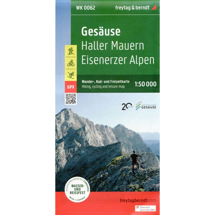
The hiking map Ges?use - Haller Mauern - Eisenerz Alps 1:50,000 is revised regularly and contains updated information on hiking trails, cycling and mountain biking trails, huts, natural monuments, cultural sights and leisure facilities. The enclosed information booklet contains a selection of the best hiking trails, cycle paths and mountain bike routes as well as a brief description of the refuges and mountain inns. (Language: German) Details: leisure information, hiking and long-distance hiking trails, mountain bike and cycling tours, register of places with postcodes, GPS-compatible, via ferrata, ski route, cross-country route, Nordic walking route, double-sided. Thanks to the detailed digital cartography and the precise scales, freytag & berndt hiking maps are ideal companions for hiking, mountaineering and ski tours.