We use cookies to make your experience better. To comply with the new e-Privacy directive, we need to ask for your consent to set the cookies. Learn more
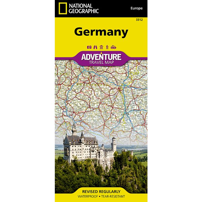
Germany Map
Adventure Maps
£14.95
In Stock
Usually dispatched within 24 hrs. Free delivery to UK for orders £25 and over
| Cordee Code: | NG0063 |
|---|---|
| Page Size: | 110 x 230 mm |
| Publisher: | National Geographic Maps |
| ISBN13: | 9781566956031 |
| Binding: | Sheet Map (folded) |
| Weight: | 100g |
| Product Type: | Map |
| Countries: | Germany |
Waterproof Tear-Resistant Travel MapNational Geographic's Germany Adventure Map is a highly functional travel tool whether you're exploring the scenic terrain, the many cosmopolitan cities, or the iconic historical sites. Cities and towns are clearly indicated and easy to find in the user-friendly index. A road network complete with distances and designations for roads, motorways, expressways, and secondary routes will help you find the route that's right for you. With specialty content to include hundreds of diverse and unique recreational, ecological, cultural, and historical destinations, this map is a perfect companion to a guidebook. National parks, museums, churches, castles, palaces, and points of interest are clearly indicated as are travel aids such as airports, railroads, and ferry routes.The front side of the print map details the southern region of the country, from its border with Luxembourg, Belgium and France to the west, to Switzerland and Austria to the south, and Czechoslovakia to the east. The reverse side details Germany's northern region; bordering Belgium and the Netherlands to the west, Poland and Czechoslovakia to the east and the Baltic Sea, Denmark and the North Sea to the north. Whether taking in the vast forests, rivers, and mountains, exploring the rich history, or enjoying the art, nightlife, and beer halls, this map will help you make the most of your time in this intriguing country.Every Adventure Map is printed on durable synthetic paper, making them waterproof, tear-resistant and tough capable of withstanding the rigors of international travel.