We use cookies to make your experience better. To comply with the new e-Privacy directive, we need to ask for your consent to set the cookies. Learn more
Geological Map of Britain Bicentennial 18152015
£12.95
In Stock
Usually dispatched within 24 hrs. Free delivery to UK for orders £25 and over
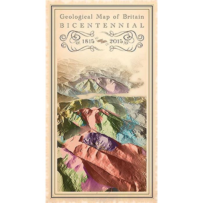
This map commemorates the two-hundredth anniversary of the publication of the first geological map of Britain, by William Smith (1769-1839). It depicts modern geological bedrock data in the style of Smith's early nineteenth century cartography.
| Cordee Code: | CGM567 |
|---|---|
| Page Size: | 135 x 240 mm |
| Publisher: | British Geological Survey |
| ISBN13: | 9780751837902 |
| Author: | British Geological Survey |
| Published Date: | February 2015 |
| Edition: | 1st ed, Feb 2015 |
| Binding: | Sheet Map (folded) |
| Weight: | 130g |
| Product Type: | Map |
| Countries: | United Kingdom |
This map commemorates the two-hundredth anniversary of the publication of the first geological map of Britain, by William Smith (1769-1839). It depicts modern geological bedrock data in the style of Smith's early nineteenth century cartography.
The main focus of Smith's work was to apply his observations and ideas to the everyday needs of the canal builders, quarry- and mine-owners, landowners and agriculturists who were underpinning the Industrial Revolution.
As more attributes are added by the British Geological Survey to geological map data, William Smith's conviction that geological mapping is of vital importance at many levels and in many areas of the nation's society, science, and industry is as true today as it was two centuries ago, when he conceived his original geological map.
The methods involved in map production have developed and, especially with digital data, the method of map delivery has altered radically, but the fundamental importance of providing accurate geological map data to today's industries is as vital now as it was in Smith's time.