We use cookies to make your experience better. To comply with the new e-Privacy directive, we need to ask for your consent to set the cookies. Learn more
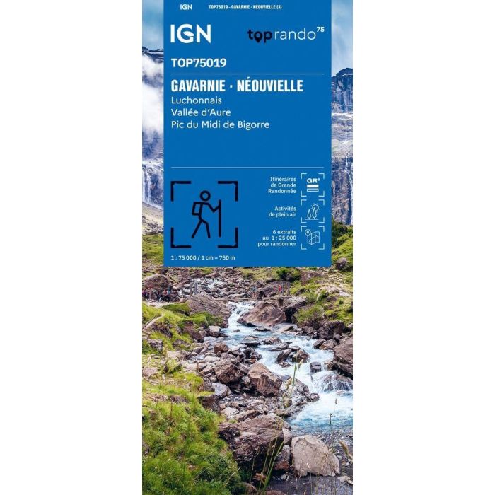
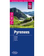
GavarnieNeouvielleLuchonnais IGN Top 75
Vallee d'Aure,Pic du midi de Bigorre
£11.50
In Stock
Usually dispatched within 24 hrs. Free delivery to UK for orders £25 and over
IGN TOP75 maps are tailor-made for outdoor enthusiasts and lovers of the cultural and historical heritage of the regions.
| Cordee Code: | CMF761 |
|---|---|
| Page Size: | 110 x 255 mm |
| Publisher: | Ign Top 25 Maps |
| ISBN13: | 9782758558125 |
| Scale: | 1:75, 000 |
| Published Date: | January 2026 |
| Edition: | 3rd Ed, Jan 2026 |
| Binding: | Sheet Map (folded) |
| Weight: | 100g |
| Geoarea: | Pyrenees |
| Product Type: | Map |
| Countries: | France |
The complete representation of the road network (highways, main, secondary, and local roads) provides easy access to numerous outdoor activity sites (hiking trails, paragliding launch sites, climbing sites, etc.), as well as cultural and historical treasures (chapels, castles, caves, museums, amusement parks, etc.). Cycling enthusiasts can plan various routes suited to their skill level, thanks to dedicated cycle paths and the comprehensive road network coverage. Altitude information provided by contour lines and elevation markers allows users to assess the difficulty of the routes. TOP75 maps are particularly well-suited for hiking, as they include all the necessary information: the local road network, GR? and GR? de Pays trails of the French Hiking Federation (FFRandonn?e) to plan your route and find your way easily; contour lines, elevation markers, rocky areas, and glaciers to assess the difficulty; g?tes (hostels) and refuges to mark the different stages of your hike; tourist and cultural information available along the route (viewpoints, notable buildings, castles, caves, etc.) to enhance your hike; and a GPS grid to locate your GPS position (X and Y coordinates) on the map. Five extracts from TOP 25 maps (at a scale of 1:25,000) are included in each TOP 75 map for one- or two-day hikes in exceptional locations. IGN mapping at a scale of 1:25000 is recognized for its accuracy by the most demanding hikers and mountaineers, offering a perfect compromise.