We use cookies to make your experience better. To comply with the new e-Privacy directive, we need to ask for your consent to set the cookies. Learn more
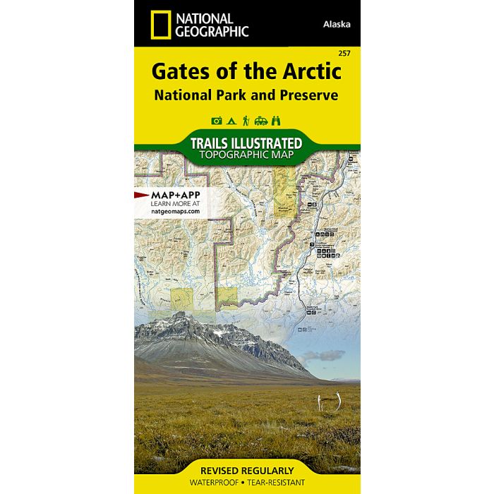
Gates of the Arctic National Park and Preserve Map
Trails Illustrated Maps
£14.95
In Stock
Usually dispatched within 24 hrs. Free delivery to UK for orders £25 and over
| Cordee Code: | NG0243 |
|---|---|
| Page Size: | 110 x 230 mm |
| Publisher: | National Geographic Maps |
| ISBN13: | 9781566953764 |
| Binding: | Sheet Map (folded) |
| Weight: | 100g |
| Product Type: | Map |
| Countries: | United States of America |
Waterproof Tear-Resistant Topographic MapLet National Geographic's Trails Illustrated map for Gates of the Arctic National Park and Preserve guide you on your adventure in this remote wilderness of northern Alaska. With neither roads or trails within the park, the map's contour lines, elevations, labeled peaks and summits, water features will be essential in your navigation of the area. Coverage includes many land and water points of interest within the park, as well as in neighboring areas, including the Brooks Range; Noatak, Alatna, John, Tinayguk and Koyukuk Wild and Scenic Rivers; Schwatka and Endicott Mountains; Yukon Flats and Kanuti National Wildlife Refuge Area; Noatak National Preserve; Walker Lake; Anaktuvuk Pass; and the Continental Divide. Also pinpointed are the area's bush airstrips; Marion Creek and Galbraith Lake campgrounds; the communities of Wiseman, Coldfoot, Evansville and Bettles; and a nearly 200 mile stretch of the Dalton Highway with its roadside facilities.The reverse side of the map features a spectacular map of Alaska, mapped with all of her national parks and preserves, along with background information about each one. Detailed information about Gates of the Arctic National Park and Preserve is provided, as are trip planning tips, backcountry activities and safety tips, minimum impact guidelines and essential contact information. This expertly researched map was created in cooperation with the National Park Service, Bureau of Land Management and others. Every Trails Illustrated map is printed on "Backcountry Tough" waterproof, tear-resistant paper. A full UTM grid is printed on the map to aid with GPS navigation.Other features found on this map include: Alatna River, Brooks Range, Chandler Lake, Cockedhat Mountain, Easter Creek, Endicott Mountains, Fish Creek, Gates of the Arctic National Park, Gates of the Arctic National Preserve, Iniakuk Lake, Jim River, John River, Lake Selby, Mauneluk River, Middle Fork Koyukuk River, Mount Igikpak, Nigu River, Noatak National Preserve, North Fork Koyukuk River, Norutak Lake, Nutuvukti Lake, Reed River, Schwatka Mountains, South Fork Koyukuk River, Walker Lake.