We use cookies to make your experience better. To comply with the new e-Privacy directive, we need to ask for your consent to set the cookies. Learn more
Galloway Hills Superwalker XT25
£15.50
In Stock
Usually dispatched within 24 hrs. Free delivery to UK for orders £25 and over
| Cordee Code: | CMH326 |
|---|---|
| Publisher: | Harvey Maps |
| ISBN13: | 9781851376070 |
| Published Date: | January 2021 |
| Edition: | 2021 |
| Binding: | Sheet Map (folded) |
| Weight: | 67g |
| Product Type: | Map |
| Countries: | Scotland |
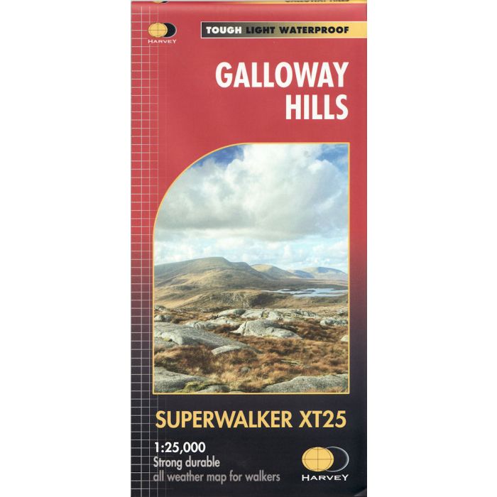
The Galloway Hills form part of the Southern Uplands of Scotland and include 3 Corbetts, 4 Grahams and 11 Donalds.
Includes Merrick, Corserine, part of Galloway Forest Park,
Clatteringshaws Loch and Glen Trool.
-Opens directly to either side of the sheet
-Lightweight, detailed, clear and easy to read
-Printed on tough 100% waterproof, tearproof paper
-Shows pubs and cafes for the end of the day
-GPS compatible
Experience the satisfaction of fine navigation with the SUPERWALKER XT25 Map now printed on our 100% waterproof and almost indestructible paper, whatever the weather!