We use cookies to make your experience better. To comply with the new e-Privacy directive, we need to ask for your consent to set the cookies. Learn more
Title Not Available
£8.90
In Stock
Usually dispatched within 24 hrs. Free delivery to UK for orders £25 and over
| Cordee Code: | FB1296 |
|---|---|
| Page Size: | 90 x 200 mm |
| Publisher: | Freytag & Berndt |
| ISBN13: | 9783899201635 |
| Binding: | Sheet Map (folded) |
| Product Type: | Map |
| Countries: | Germany |
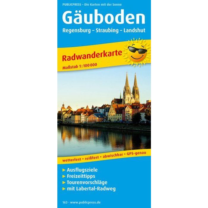
The cycling map offers a practical guide for cyclists in this region, as numerous paths are not only marked in the map section, but are also described in detail in the information section. 19 long-distance cycle paths marked in red lead along the banks of the Isar and Danube, through the Bavarian Forest National Park and the G?uboden between Straubing and Landau. More, with e.g. Regional cycle paths with some steep inclines are also marked on the map. In addition to the impressive forest and water-rich landscape - a highlight is the Danube Gorge near Kelheim - cities worth seeing such as Landshut, Straubing and Donaustauf await visitors.