We use cookies to make your experience better. To comply with the new e-Privacy directive, we need to ask for your consent to set the cookies. Read our privacy and security policy

Friluftskarta Uppsala 1:20K
£16.99
Refer To Cus Serv
Available by special order, contact [email protected] and we can advise expected delivery date.
| Cordee Code: | CMV391 |
|---|---|
| Page Size: | 130 x 210 mm |
| No of Pages: | 2 |
| Publisher: | Calazo Forlag Ab |
| ISBN13: | 9789189541436 |
| Binding: | Sheet Map (folded) |
| Product Type: | Others |
| Countries: | Sweden |
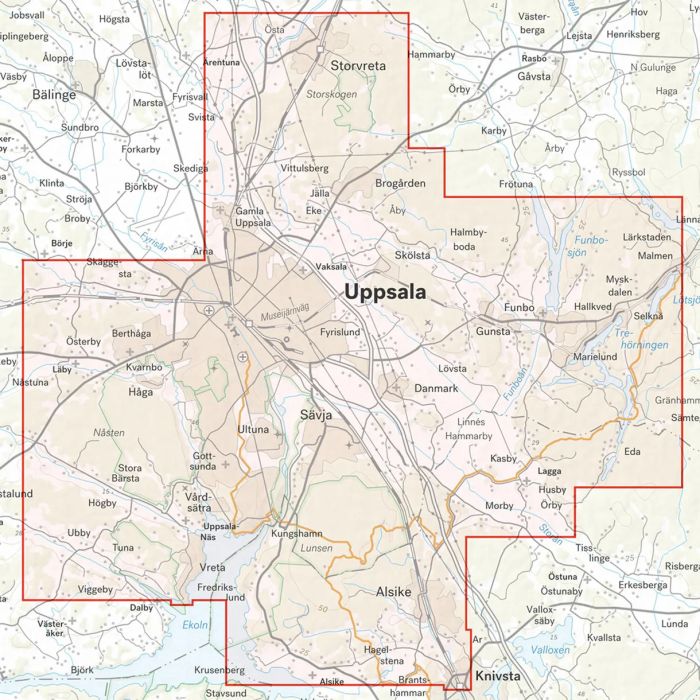
The outdoor map of Uppsala has been developed for those who like to hike, cycle and run in the nature around the city. Lunsen, Nasten, Hammarskog and Fjallnora have a large number of paths and marked trails. In the work on this map, a lot of effort has been put into identifying and mapping unmarked trails, which in many cases have never been on any map before. Of course, you also get a good overview of all campsites, wind shelters, marked hiking trails, mountain bike trails, ski trails and ploughed long-distance skating rinks. The package contains two maps in scale 1:20,000 that cover different parts of the outdoor areas around the city such as Hammarskog, Lunsen and Fjallnora. The maps are printed on the material Tyvek. It is made of a synthetic fiber that makes the map completely insensitive to water and very tear-resistant. A Tyvek map does not break in the creases or lose color when you use it.