We use cookies to make your experience better. To comply with the new e-Privacy directive, we need to ask for your consent to set the cookies. Learn more
Frankenjura Band 2 2024 Edition
£36.95
Temp Out Of Stock
| Cordee Code: | CCE813 |
|---|---|
| Page Size: | 150 x 186 mm |
| No of Pages: | 608 |
| Publisher: | Panico Alpinverlag |
| ISBN13: | 9783956111891 |
| Language: | German |
| Published Date: | May 2024 |
| Edition: | 2024 (14th EDition) |
| Binding: | Paperback (flapped) |
| Illustrations: | Full Colour Photos + Photo Topos |
| Weight: | 990g |
| Product Type: | Guide Books |
| Countries: | Germany |
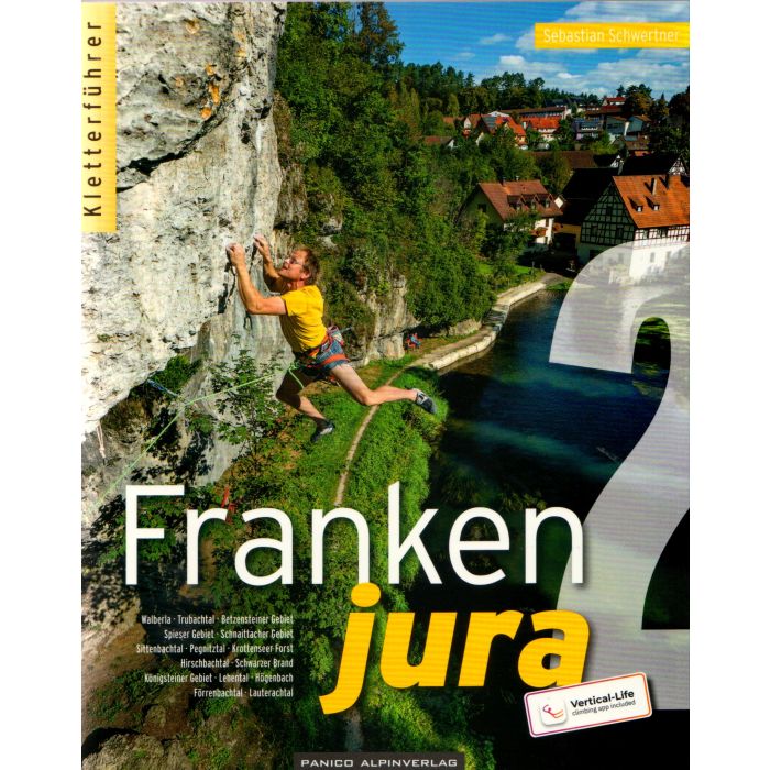
This is a comprehensive sport climbing guidebook covering the southern part of Frankenjura (Band 2), which is the largest rock climbing area in Germany, between the cities of Nuremberg, Bamberg and Bayreuth.
This guidebook describes 15 different areas in the southern part of Frankenjura to the north and east of Nuremberg. The 15 areas are as follows: Walberla, Trubachtal, Betzensteiner area, Spieser area, Schnaittacher area, Pegnitztal, Krottenseer forest, Hirschbachtal, K?nigsteiner area, Lehental, H?genbachtal, F?rrenbachtal and Lauterbachtal.
The guidebook describes an impressive 6,900 routes that are shown on colour topos along with a description. Detailed approach maps and descriptions are given for each area, plus QR codes are given for the parking areas and for each sector.
Published in 2024 by Panico, this guidebook is in German text throughout, but a large amount of information is conveyed by symbols. The introduction section is also in French and English text.