We use cookies to make your experience better. To comply with the new e-Privacy directive, we need to ask for your consent to set the cookies. Learn more
France north, Road map 1:500000
£12.90
In Stock
Usually dispatched within 24 hrs. Free delivery to UK for orders £25 and over
| Cordee Code: | FB1708 |
|---|---|
| Page Size: | 130 x 255 mm |
| Publisher: | Freytag & Berndt |
| ISBN13: | 9783707923933 |
| Published Date: | August 2025 |
| Edition: | 2025 |
| Binding: | Sheet Map (folded) |
| Weight: | 150g |
| Product Type: | Map |
| Countries: | France |
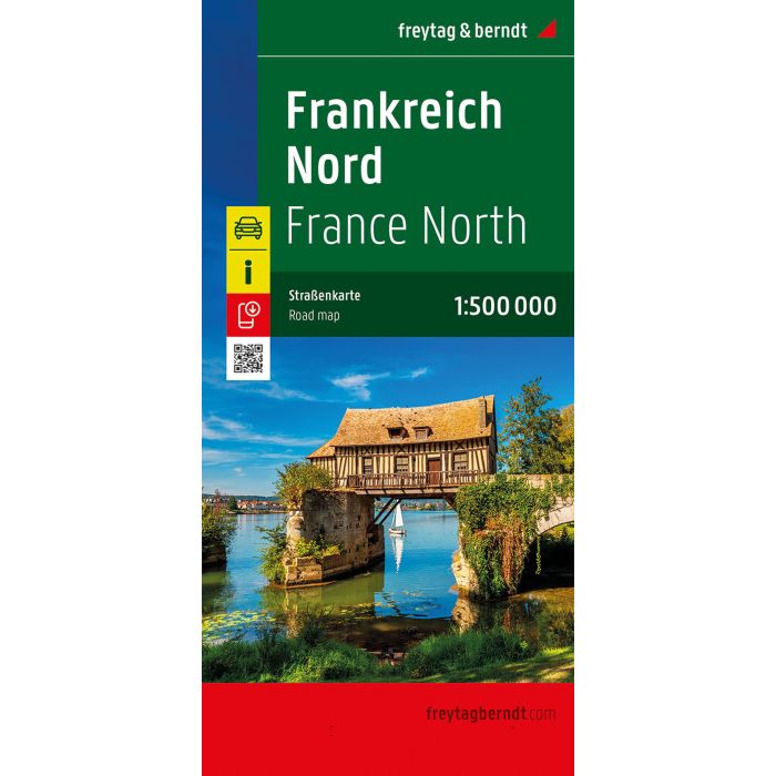
The 1:500,000 scale road map of Northern France contains all the essential information for travelers visiting Northern France by car, motorcycle, or caravan. The extensive road network is precisely depicted, tourist routes are color-coded, and many tourist attractions are marked on the map.
Information about the road map of Northern France
Scale 1:500,000
Tourist information
Campsites and pitches
Digital Ortsregister
Format: 124.5 x 96 cm, double-sided
Digital place register
The digital place register can be easily accessed using a QR code.
The ideal road map for Northern France.
Drivers and motorcyclists appreciate freytag & berndt's precise cartography, especially for route planning and local orientation. Camping enthusiasts will, of course, find all campsites on the map.
Printed in Austria.