We use cookies to make your experience better. To comply with the new e-Privacy directive, we need to ask for your consent to set the cookies. Learn more
FM WESTERN US
Rand McNally
£9.99
In Stock
Usually dispatched within 24 hrs. Free delivery to UK for orders £25 and over
| Cordee Code: | RM0007 |
|---|---|
| Page Size: | 100 x 230 mm |
| No of Pages: | 1 |
| Publisher: | Rand McNally |
| ISBN13: | 9780528028663 |
| Published Date: | March 2024 |
| Edition: | 2024 |
| Binding: | Sheet Map (folded) |
| Weight: | 50g |
| Product Type: | Map |
| Countries: | United States of America |
Rand McNally's folded map featuring the Western United States is a must-have for anyone traveling in and around this part of the country, offering unbeatable accuracy and reliability at a great price.
Our trusted cartography shows all Interstate, state, and county highways, along with clearly indicated points of interest, airports, county boundaries, and more. You'll see why Rand McNally folded maps have been the trusted standard for years.
- Regularly updated, full-color maps.
- Clearly labeled Interstate, U.S., state, and county highways.
- Detail maps of major cities, a mileage chart, and a Mileages & Driving Times Map.
- Indications of parks, points of interest, airports, county boundaries, and more.
- Easy-to-use legend.
- Detailed index.
- Convenient folded size.
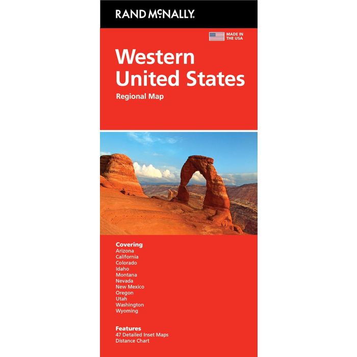
Coverage Area States covered: Arizona, California, Colorado, Idaho, Montana, Nevada, New Mexico, Oregon, Utah, Washington, Wyoming.
Product Details: Measures 9.5" x 4.125" and folds out to 40" x 28". Scale: 1" = 43 miles.
Our trusted cartography shows all Interstate, state, and county highways, along with clearly indicated points of interest, airports, county boundaries, and more. You'll see why Rand McNally folded maps have been the trusted standard for years.
- Regularly updated, full-color maps.
- Clearly labeled Interstate, U.S., state, and county highways.
- Detail maps of major cities, a mileage chart, and a Mileages & Driving Times Map.
- Indications of parks, points of interest, airports, county boundaries, and more.
- Easy-to-use legend.
- Detailed index.
- Convenient folded size.
Coverage Area States covered: Arizona, California, Colorado, Idaho, Montana, Nevada, New Mexico, Oregon, Utah, Washington, Wyoming.
Product Details: Measures 9.5" x 4.125" and folds out to 40" x 28". Scale: 1" = 43 miles.