We use cookies to make your experience better. To comply with the new e-Privacy directive, we need to ask for your consent to set the cookies. Learn more
FM WASHINGTON DC STREET
Rand McNally
£9.99
In Stock
Usually dispatched within 24 hrs. Free delivery to UK for orders £25 and over
| Cordee Code: | RM0014 |
|---|---|
| Page Size: | 100 x 228 mm |
| No of Pages: | 1 |
| Publisher: | Rand McNally |
| ISBN13: | 9780528028694 |
| Published Date: | December 2024 |
| Edition: | 2024 |
| Binding: | Sheet Map (folded) |
| Weight: | 60g |
| Product Type: | Map |
| Countries: | United States of America |
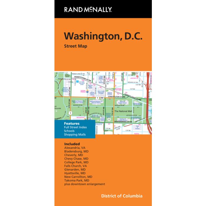
Rand McNally's folded map for Washington, D.C. is a must-have for anyone traveling in and around this part of District of Columbia, offering unbeatable accuracy and reliability at a great price. Our trusted cartography shows all Interstate, U.S., state, and county highways, along with clearly indicated parks, points of interest, airports, county boundaries, and streets. The easy-to-use legend and detailed index make for quick and easy location of destinations. You'll see why Rand McNally folded maps have been the trusted standard for years.
-Regularly updated
-Full-color maps
-Clearly labeled Interstate, U.S., state, and county highways
-Indications of parks, points of interest, airports, county boundaries, schools, shopping malls, downtown & vicinity maps
-Easy-to-use legend
-Detailed & full street index
-Convenient folded size
-Copyright 2024
Coverage Area
Alexandria, Va Bladensburg, Md Cheverly, Md Chevy Chase, Md College Park, Md Falls Church, Va Glenarden, Md Hyattsville, Md New Carrollton, Md Takoma Park, Md plus downtown enlargement
Product Details
Measures 9.5" x 4" and folds out to 40" x 28".