We use cookies to make your experience better. To comply with the new e-Privacy directive, we need to ask for your consent to set the cookies. Learn more
FM WASHINGTON DC BALTIMORE MD REGIONAL
Rand McNally
£9.95
In Stock
Usually dispatched within 24 hrs. Free delivery to UK for orders £25 and over
Rand McNally's folded map for Washington, D.C. is a must-have for anyone traveling in and around the Washington, D.C. area, offering unbeatable accuracy and reliability at a great price.
| Cordee Code: | RM0030 |
|---|---|
| Page Size: | 100 x 228 mm |
| No of Pages: | 1 |
| Publisher: | Rand McNally |
| ISBN13: | 9780528029424 |
| Published Date: | March 2026 |
| Edition: | 2026 |
| Binding: | Sheet Map (folded) |
| Weight: | 60g |
| Product Type: | Map |
| Countries: | United States of America |
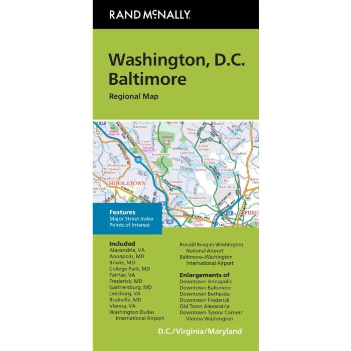
Rand McNally's folded map for Washington, D.C. is a must-have for anyone traveling in and around the Washington, D.C. area, offering unbeatable accuracy and reliability at a great price. Our trusted cartography shows all Interstate, U.S., state, and county highways, along with clearly indicated parks, points of interest, airports, county boundaries, and streets. The easy-to-use legend and detailed index make for quick and easy location of destinations. You'll see why Rand McNally folded maps have been the trusted standard for years.
Folded map features:
Regularly updated
Full-color maps
Clearly labeled Interstate, U.S., state, and county highways
Indications of parks, points of interest, airports, county boundaries, downtown & vicinity maps
Easy-to-use legend
Detailed index
Convenient folded size
Copyright 2024
Major Street Index
Additional features:
Enlargements of Annapolis downtown
Baltimore downtown
Bethesda downtown
Frederick downtown
Old Town Alexandria
Tysons Corner/Vienna
Washington downtown
Coverage Area
Communities Included: Alexandria, VA, Annapolis, MD, Bowie, MD, College Park, MD, Fairfax, VA, Frederick, MD, Gaithersburg, MD, Leesburg, VA, Rockville, MD, Vienna, VA, Washington Dulles Int'l Airport, Ronald Reagan Washington Nat'l Airport, Baltimore-Wash