We use cookies to make your experience better. To comply with the new e-Privacy directive, we need to ask for your consent to set the cookies. Learn more
FM DALLAS FORT WORTH TX REGIONAL
Rand McNally
£9.99
In Stock
Usually dispatched within 24 hrs. Free delivery to UK for orders £25 and over
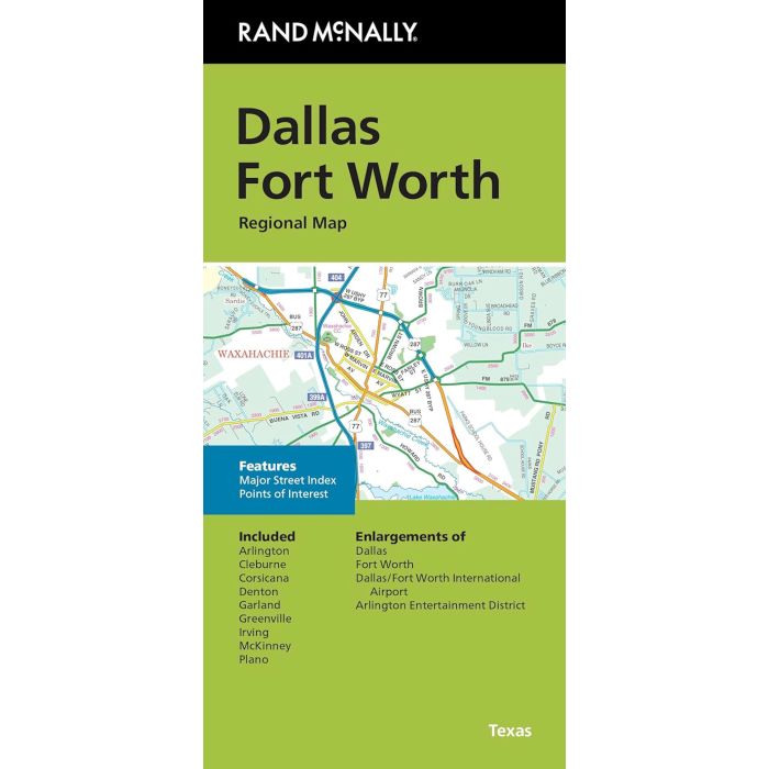
Rand McNally's folded map for Dallas Fort Worth is a must-have for anyone traveling in and around this part of Texas, offering unbeatable accuracy and reliability at a great price.
| Cordee Code: | RM0024 |
|---|---|
| Page Size: | 100 x 228 mm |
| No of Pages: | 1 |
| Publisher: | Rand McNally |
| ISBN13: | 9780528027734 |
| Published Date: | March 2024 |
| Edition: | 2024 |
| Binding: | Sheet Map (folded) |
| Weight: | 60g |
| Product Type: | Map |
| Countries: | United States of America |
Rand McNally's folded map for Dallas Fort Worth is a must-have for anyone traveling in and around this part of Texas, offering unbeatable accuracy and reliability at a great price.
Our trusted cartography shows all Interstate, U.S., state, and county highways, along with clearly indicated parks, points of interest, airports, county boundaries, and streets. The easy-to-use legend and detailed index make for quick and easy location of destinations. You'll see why Rand McNally folded maps have been the trusted standard for years.
- Regularly updated.
- Full-color maps.
- Clearly labeled Interstate, U.S., state, and county highways.
- Indications of parks, points of interest, airports, county boundaries, downtown & vicinity maps.
- Major attractions & Golf Courses.
- Enlargements of Dallas, Forth Worth, Dallas/Fort Worth International Airport, Arlington Entertainment District.
- Easy-to-use legend.
- Detailed index & Major Street Index.
- Convenient folded size.
Coverage Area Communities Included: Arlington, Cleburne, Corsicana, Denton, Garland, Greenville, Irving, McKinney, Plano.
Product Details: Measures 9.5' x 4' and folds out to 40' x 28'.