We use cookies to make your experience better. To comply with the new e-Privacy directive, we need to ask for your consent to set the cookies. Learn more
FM CALIFORNIA ETR LARGE PRINT
Rand McNally
£11.99
In Stock
Usually dispatched within 24 hrs. Free delivery to UK for orders £25 and over
| Cordee Code: | RM0010 |
|---|---|
| Page Size: | 72 x 102 mm |
| No of Pages: | 1 |
| Publisher: | Rand McNally |
| ISBN13: | 9780528028373 |
| Binding: | Sheet Map (folded) |
| Weight: | 60g |
| Product Type: | Map |
| Countries: | United States of America |
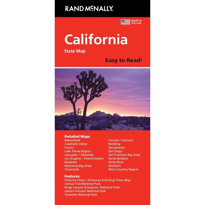
California Easy-to-Read map from Rand McNally, US leading publisher of road maps and street plans, in their extensive series of state maps. Additional panels provide enlargements for the three main urban conurbations: the San Francisco Bay area (SF - Oakland - San Jose), Los Angeles and Vicinity (extending east to San Bernardino and Riverside) and San Diego and Vicinity - each with a street plan of downtown area (SF, LA and SD); plus Bakersfield; Fresno; Lancaster - Palmdale; Modesto; Monterey - Salinas; Oceanside; Oxnard - Ventura; Palm Springs; Sacramento; Santa Barbara; Santa Rosa; Stockton; Yosemite National Park, Joshua Tree National Park; Kings Canyon and Sequoia National Parks; and Lake Tahoe Region.
For clarity of road information Rand McNally state maps present the road network on a plain background, with no or little topographic detail. Driving distances are indicated on all principal highways and on many local routes. National or state parks and other protected areas, Indian Reservations and restricted entry military zones are highlighted and symbols indicate campsites, rest areas, various places of interest, etc. Each map shows local administrative boundaries with names of the counties, is indexed and gives geographical coordinates as margin ticks usually at 1' intervals.
Rand McNally state maps are available in two formats: double-sided Easy-to-Read maps with numerous enlargements for cities and/or most visited areas, and laminated Easy-to-Fold maps in a more handy format but with smaller print.