We use cookies to make your experience better. To comply with the new e-Privacy directive, we need to ask for your consent to set the cookies. Learn more
Finland Adventure Map
£14.95
Not Yet Published
This title has not yet been released. You may pre-order now and we will deliver it to you when it arrives.
Contact [email protected]
Contact [email protected]
Expected: 1st July 2026
| Cordee Code: | NG0883 |
|---|---|
| Page Size: | 113 x 235 mm |
| No of Pages: | 1 |
| Publisher: | National Geographic Maps |
| ISBN13: | 9781566958233 |
| Published Date: | July 2026 |
| Edition: | July 2026 |
| Binding: | Sheet Map (folded) |
| Product Type: | Map |
| Countries: | Finland |
- Waterproof - Tear-Resistant - Travel Map
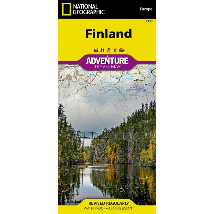
National Geographic's Finland Adventure Map is designed to meet the unique needs of adventure travelers with its detailed and accurate information. Cities and towns are easy to find in the user-friendly index. Motorways, expressways, and other roads are clearly designated and include distance in kilometers so travelers can easily plan their best route. Specialty content such as hundreds of diverse and unique recreational, ecological, cultural, and historical destinations make Adventure Maps the perfect companion to a guidebook. National parks, castles, churches, campsites, winter sports resorts, archeological sites, museums, and scenic viewpoints are among the sites noted to help you take advantage of the region's many natural attractions and activities.
The front side of the map covers the northern half of the region from the border with Norway to the city of Oulu. The southern half of Finland is shown on the reverse side of the map spanning from Finland's southern tip and Helsinki to the city of Oulu in the north.
Every Adventure Map is printed on durable synthetic paper, making them waterproof, tear-resistant and tough - capable of withstanding the rigors of international travel.