We use cookies to make your experience better. To comply with the new e-Privacy directive, we need to ask for your consent to set the cookies. Learn more
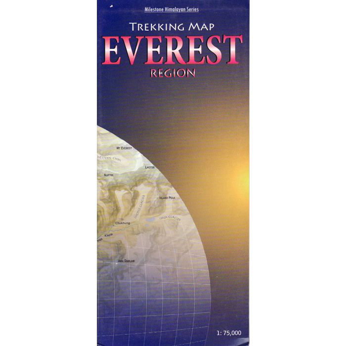
Everest Region: Trekking Map
£8.00
In Stock
Usually dispatched within 24 hrs. Free delivery to UK for orders £25 and over
| Cordee Code: | CMW672 |
|---|---|
| Page Size: | 114 x 260 mm |
| Publisher: | Milestone Books |
| ISBN13: | 9788190327060 |
| Scale: | 1 : 75 000 |
| Peak: | Everest |
| Published Date: | June 2009 |
| Edition: | 1st Edition |
| Binding: | Sheet Map (folded) |
| Weight: | 100g |
| Geoarea: | Himalayas |
| Product Type: | Map |
| Countries: | Nepal |
Detailed, easy-to-read fold-out map showing all major trails. Contour-coloured so that users can visualise the lay of the land, picturing mountain ranges and other relief features with ease. The map covers the Everest and Gokyo regions and beyond,from Lukla all the way to the Rongbuk Glacier in Tibet and as far as Mt Makalu in the east. Shown in detail are the trails to RenjoLa Pass, Mera Peak, and Island Peak and through AmphuLapcheLa Pass and the Hongu valley. Most major settlements and campsites shown on the trails, as also peaks, are marked along with their altitudes, in both metres and feet.
Other titles of interest:
-
 Everest Base Camp 150000Kala Patthar and Gokyo trekking map£11.99
CMW333
Temp Out Of StockOut of stock