We use cookies to make your experience better. To comply with the new e-Privacy directive, we need to ask for your consent to set the cookies. Learn more
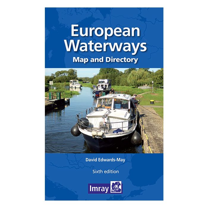
European Waterways Map and Concise Directory
£19.00
In Stock
Usually dispatched within 24 hrs. Free delivery to UK for orders £25 and over
| Cordee Code: | IM0194 |
|---|---|
| Page Size: | 187 x 294 mm |
| No of Pages: | 56 |
| Publisher: | Fb Imray Laurie Norie And Wilson |
| ISBN13: | 9781786792440 |
| Binding: | Sheet Map (folded) |
| Weight: | 220g |
| Product Type: | Map |
European Waterways Map and Concise Directory from Transmanche Publications offers a large folded map of Europe showing inland waterways, plus a 54-page directory with country-by country information, including enlargements of popular areas.
The fold-out map is double-sided, at 1:4,000,000 on one side extending to the Urals and southern Scandinavia, with on the reverse western and central Europe shown in greater detail at 1:1,500,000; plus further enlargements for the Benelux with the adjoining areas of France and Germany.
Navigable waterways are coloured and/or classified according to their dimensions and the type of craft, and presented with symbols indicating locks, boat lifts, etc. The base map has altitude colouring to show the topography. Country and city names are given in local language (with English equivalents where useful). Map legend is in English, French, German and Dutch.
The booklet expands on the map with regional enlargements, more detailed route information and descriptions, as well as general information on each country?s waterways network, including contact details of official agencies.