We use cookies to make your experience better. To comply with the new e-Privacy directive, we need to ask for your consent to set the cookies. Learn more
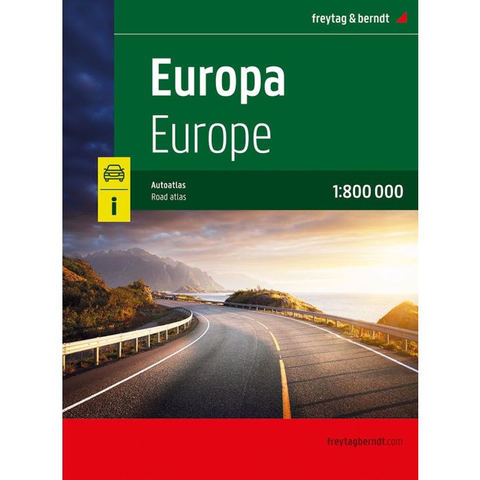
Europe Road Atlas 1:800000
£19.90
In Stock
Usually dispatched within 24 hrs. Free delivery to UK for orders £25 and over
| Cordee Code: | FB1683 |
|---|---|
| Page Size: | 210 x 297 mm |
| Publisher: | Freytag & Berndt |
| ISBN13: | 9783707923766 |
| Published Date: | May 2025 |
| Edition: | 2025 |
| Binding: | Sheet Map (folded) |
| Weight: | 1000g |
| Product Type: | Map |
The European Road Atlas 1:800,000 is the perfect companion for anyone traveling through Europe by car, camper, or motorcycle. Ideal for route planning and an indispensable orientation aid.
Information on the European Road Atlas
Scale 1:800,000
Concealed spiral binding
Camping and pitches
Tourist information
Place register with postcodes
Format: 23 x 29,7 cm
The ideal road atlas for Europe.
The road network is precisely depicted, scenic routes are highlighted in color, and points of interest are marked on the map.
An additional map section shows the whole of Europe at a scale of 1:5.5 million.
Car and motorcycle drivers particularly appreciate freytag & berndt's precise cartography for planning and navigating on the road. For RV and camper travelers, campsites and parking spaces are listed directly in the atlas.
Convenient spiral binding:
The Europe Road Atlas is particularly convenient to use, thanks to its spiral binding, which allows it to be easily opened. This allows you to keep the desired page open even while driving.