We use cookies to make your experience better. To comply with the new e-Privacy directive, we need to ask for your consent to set the cookies. Learn more

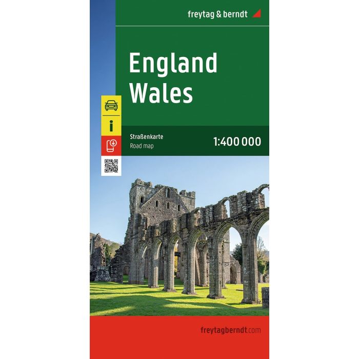
England Wales, Automap 1:400000
£12.90
In Stock
Usually dispatched within 24 hrs. Free delivery to UK for orders £25 and over
| Cordee Code: | FB1750 |
|---|---|
| Page Size: | 130 x 255 mm |
| No of Pages: | 2 |
| Publisher: | Freytag & Berndt |
| ISBN13: | 9783707924077 |
| Published Date: | July 2026 |
| Edition: | 2026 |
| Binding: | Sheet Map (folded) |
| Weight: | 200g |
| Product Type: | Map |
| Countries: | United Kingdom |
The road map England - Wales on a scale of 1:400,000 contains a lot of useful information for a trip to Great Britain. The dense road network in England and Wales is depicted exactly, scenic roads are highlighted in color and many excursion destinations are marked directly on the map.
Car and motorcyclists appreciate the exact cartography of freytag & berndt, especially for planning and orientation on site.
Caravan drivers and campers will of course find all campsites on the map.
Information about the road map England - Wales
Scale 1:400.000
Tourist information
Camping
Place register
City Map: London
Two-sided
Format: 137 x 93 cm
With this road map, you can easily navigate to some of the most beautiful tourist destinations in England and Wales. Visit the picturesque seaside village of Tenby in Wales, the famous Stonehenge in southern England, historic Bath or the stunning Cotswolds. With our map you will always find the fastest and most efficient way to these fantastic destinations.
Car and motorcyclists appreciate the exact cartography of freytag & berndt, especially for planning and orientation on site.
Caravan drivers and campers will of course find all campsites on the map.
Information about the road map England - Wales
Scale 1:400.000
Tourist information
Camping
Place register
City Map: London
Two-sided
Format: 137 x 93 cm
With this road map, you can easily navigate to some of the most beautiful tourist destinations in England and Wales. Visit the picturesque seaside village of Tenby in Wales, the famous Stonehenge in southern England, historic Bath or the stunning Cotswolds. With our map you will always find the fastest and most efficient way to these fantastic destinations.