We use cookies to make your experience better. To comply with the new e-Privacy directive, we need to ask for your consent to set the cookies. Learn more
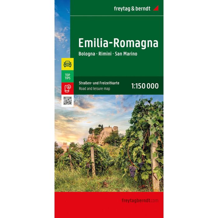
Emilia Romagna Road and Leisure Map
Bologna - Rimini - San Marino
£12.90
Temp Out Of Stock
| Cordee Code: | FB1648 |
|---|---|
| Page Size: | 130 x 255 mm |
| Publisher: | Freytag & Berndt |
| ISBN13: | 9783707922585 |
| Published Date: | September 2024 |
| Edition: | 2024 |
| Binding: | Sheet Map (folded) |
| Weight: | 150g |
| Product Type: | Map |
| Countries: | Italy |
The Emilia-Romagna road map on a scale of 1:150,000 is a great way for holidaymakers travelling by car, motorbike or caravan to find their way around. The extensive road network is shown exactly, and distances and many excursion destinations are marked on the map.
Information on the Emilia-Romagna road map
Scale 1:150,000
Tourist information
Campsites and pitches
Digital info guide with location index
Cityplan Bologna
approx. 135 x 96 cm, double-sided
Car and motorcycle drivers particularly appreciate freytag & berndt's precise cartography for planning and orientation on site. Caravan drivers and campers will of course find all campsites and parking spaces on the map.
Digital Infoguide
The digital infoguide, which can be accessed via a QR code, offers short descriptions of the region's most important sights in several languages. (Languages: German, English, Italian).
Printed in Austria.