We use cookies to make your experience better. To comply with the new e-Privacy directive, we need to ask for your consent to set the cookies. Learn more
Eifel Mosel Hunsruck Westerwald, street and Leisuremap
£12.90
Temp Out Of Stock
| Cordee Code: | FB1593 |
|---|---|
| Page Size: | 130 x 255 mm |
| Publisher: | Freytag & Berndt |
| ISBN13: | 9783707922493 |
| Published Date: | April 2024 |
| Edition: | 2024 |
| Binding: | Sheet Map (folded) |
| Weight: | 135g |
| Product Type: | Map |
| Countries: | Germany |
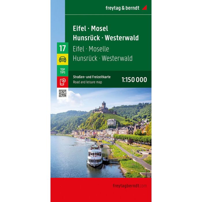
With the Eifel - Mosel - Hunsruck - Westerwald road map on a scale of 1:150,000, holidaymakers traveling by car, motorbike or caravan can easily find their way around. The dense road network is depicted precisely, distances and tourist destinations are shown on the map.
Information about the Eifel - Mosel - Hunsruck - Westerwald car map
Scale 1:150,000
Tourist information
Campsites and pitches
Digital Ortsregister
Format: 136 x 95 cm
The ideal car map
Drivers and motorcyclists particularly appreciate the precise cartography from freytag & berndt for planning and on-site orientation.
Caravan drivers and campers will of course find all campsites and pitches on the map.
Digital location register
The location register with postal codes can be accessed online and downloaded as a PDF.
This map is sheet 17 of the 17-part Germany 1:150,000 map series.
Printed in Austria.