We use cookies to make your experience better. To comply with the new e-Privacy directive, we need to ask for your consent to set the cookies. Learn more
Eastern Frisian Islands North Sea coast, Westlicher Teil
£8.90
In Stock
Usually dispatched within 24 hrs. Free delivery to UK for orders £25 and over
| Cordee Code: | FB1189 |
|---|---|
| Page Size: | 90 x 200 mm |
| Publisher: | Freytag & Berndt |
| ISBN13: | 9783747305300 |
| Binding: | Sheet Map (folded) |
| Weight: | 70g |
| Product Type: | Map |
| Countries: | Netherlands |
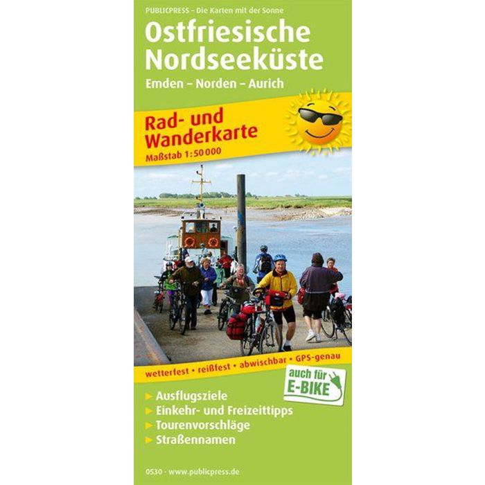
The cycling and hiking map covers the area northwest of Aurich. Five side maps provide a helpful overview of the offshore islands of Borkum, Langeoog, Norderney, Juist and Baltrum, which can be reached by ferry from the coastal towns. The flat landscape, which is ideal for cyclists, is attractive thanks to the unique mudflat landscape. But the hinterland also has a lot to offer for active vacationers: The back of the map provides information about attractive places such as Aurich and Greetsiel and presents special offers for cyclists and hikers, such as the Paddle and Pedal route, which includes rental stations for bikes and canoes.