We use cookies to make your experience better. To comply with the new e-Privacy directive, we need to ask for your consent to set the cookies. Learn more
Eastern Crete 1100000
Incl street map of Aghios Nikolaos
£10.95
Temp Out Of Stock
Eastern Crete at 1:100,000 on an indexed, GPS compatible road map from Terrain Maps, printed on light, waterproof and tear-resistant plastic paper, with a street plan of central Aghios Nikolaos.
| Cordee Code: | CMG163 |
|---|---|
| Publisher: | Terrain Cartographic Pc |
| ISBN13: | 9789609456661 |
| Scale: | 1:100,000 |
| Edition: | 2012 |
| Binding: | Waterproof Map (folded) |
| Weight: | 150g |
| Product Type: | Map |
| Countries: | Greece |
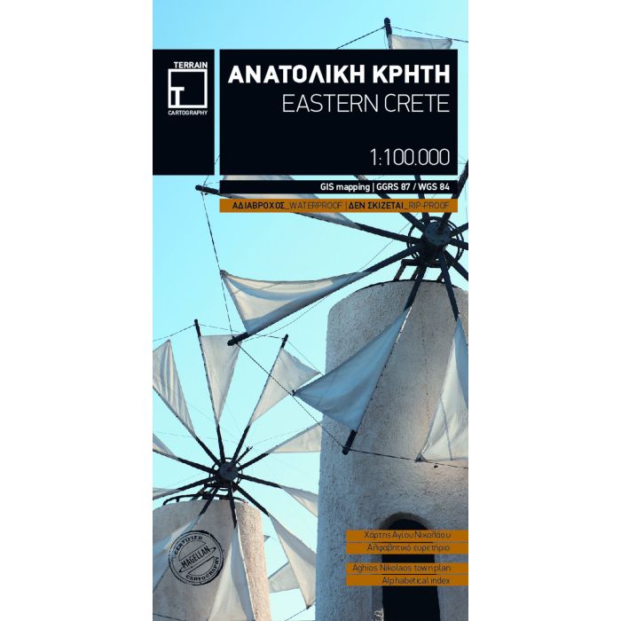
Eastern Crete at 1:100,000 on an indexed, GPS compatible road map from Terrain Maps, printed on light, waterproof and tear-resistant plastic paper, with a street plan of central Aghios Nikolaos.
This title is part of a series which covers Crete in three sheets. The maps have contours at 100m intervals, enhanced by relief shading with spot heights and plenty of names of topographic features such as peaks, mountain ranges, etc. All place names are in both Greek and Latin alphabet.
For outdoor activities the maps show selected local footpaths, including the course of E4 long-distance trail, climbing crags, canyoning routes and scuba-diving centres. A range of symbols highlight other places of interest campsites, mountain refuges, archaeological sites, monasteries, etc. The maps have a 5km UTM grid for GPS. The index shows names of towns and villages in both scripts and includes separate lists of monasteries and archaeological sites.
On the reverse is a street plan of the main town in the region, highlighting places of interest, various facilities and selected accommodation. Names of larger streets are in both alphabets; smaller streets are in Greek only.
Map legends for both the main map and the street plan include English.