We use cookies to make your experience better. To comply with the new e-Privacy directive, we need to ask for your consent to set the cookies. Learn more
East Perthshire Cycling Map 1100000 waterproof
5 routes: 16 miles easy to 52 miles strenuous
£6.95
In Stock
Usually dispatched within 24 hrs. Free delivery to UK for orders £25 and over
| Cordee Code: | CMH186 |
|---|---|
| Page Size: | 117 x 245 mm |
| Publisher: | Harvey Maps |
| ISBN13: | 9781851374977 |
| Author: | Harveys |
| Language: | English |
| Published Date: | May 2011 |
| Binding: | Sheet Map (folded) |
| Illustrations: | Colour |
| Weight: | 60g |
| Product Type: | Map |
| Countries: | Scotland |
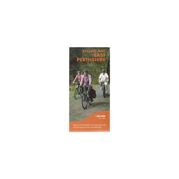
Cycling map of East Perthshire. Scale 1:80,000
Shows the network of minor roads and includes 5 recommended cycle routes.
Made in cooperation with ByCycle and Perth and Kinross Council and Perth and Kinross Countryside Trust
Steep hills are marked; also the location of cycle shops and cycle hire.
Shows the general topography including layer-coloured high ground, forest, rivers, lochs settlement.
General information includes location and phone numbers for the Tourist Information Centres. Points of interest, services and facilities, toilets etc. are marked.
Map size 700x485mm folded to 116x242mm
Printed on waterproof paper and supplied in a protective plastic pocket.